Time zone PST (UTC+5) Elevation 280 m Area code 0537 | Tehsil Kharian Calling code 0537 Population 4,000 (2014) | |
 | ||
Tape ball village cricket tournament jand sharif 2005
'
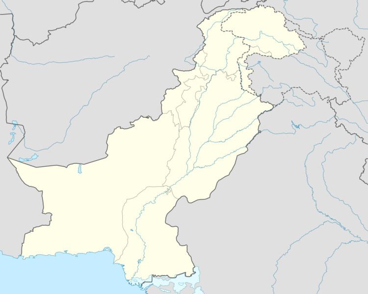
Map of Jand Sharif, Pakistan
Jand Sharif (Urdu: جنڈ شریف) is a village in Gujrat District, Punjab province, Pakistan. It lies 10 kilometres (6.2 mi) from the Azad Kashmir border. All peoples are Muslim and Most of people belong to the Gujjar community.80%people are Suni 10% sheia&10%Deobandi. The mazar of Hazrat Hafiz Alim din Rahmatullah Alay and hazrat Bore waly sarkar Rahmatullah Alay Situated in jand sharif.In this village three Mosuque and a Imam bargah. The road connecting Guliana with chokei smani, Kotli passes through this town. On both sides of this road are fertile lands. Major crops of this region are wheat, maize and millet. Closest villages include Dadu Barsala, Chak Bakhtawar, Sadkal, Kotli Bajar, Ram Garh and Guliana. A bus stop is also named as Loharian Chowk (Loharian is former name of Chak Bakhtawar.
Contents
Education
There are three schools in Jand Sharif:
