
Area 30.97 km² | Time zone IST (UTC+5:30) | |
 | ||
Neighborhoods Subhash Nagar, Housing Board Colony, Shivanagar, Lecturers Colony, Mothgulagudem | ||
Shiva reddy vemulawada visit monkey funeral in jammikunta telangana state roundup
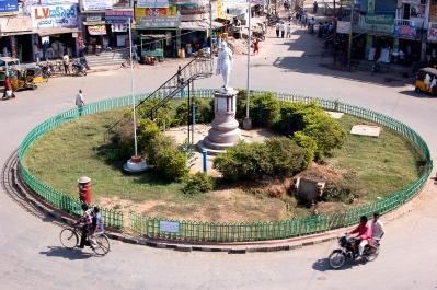
Jammikunta is a municipal town, Industrial and major Business centre, fastest developing city located in the Karimnagar district in the state of Telangana, India. It is the major town in the Karimnagar District.It is a major industrial hub, a business centre, and a Mandal headquarters.It is located on golden quadrangle railway line, and on northern part of Telangana.Jammikunta serves as the centre for trade and education for more than 60 villages surrounding it. At the 2011 census it had a population of 32,645, 16,894 males and 15,751 females.
Contents
- Shiva reddy vemulawada visit monkey funeral in jammikunta telangana state roundup
- Map of Jammikunta Telangana
- Governance
- Transport
- References
Map of Jammikunta, Telangana
A foundation for a four-lane road of about 30 km has been laid by the honourable Finance Minister.
Governance
Civic administration
Jammikunta city council Nagar Panchayat was constituted in 2011 and is classified as a second grade municipality with 20 election wards. The jurisdiction of the civic body is spread over an area of 30.97 km2 (11.96 sq mi).
Transport
Being situated on Grand Trunk Railway line, Jammikunta is well connected with metropolis such as Mumbai, Chennai, New Delhi, Bangalore, Hyderabad, Lucknow....etc. The Telangana State Road Transport Corporation operates bus services from Jammikunta bus station.