
Country Bangladesh Postal code 2000 | Time zone BST (UTC+6) Area 489.6 km² | |
 | ||
Website Official Map of Jamalpur Sadar | ||
Jamalpur Sadar (Bengali: জামালপুর সদর) is an Upazila of Jamalpur District in the Division of Mymensingh, Bangladesh.
Contents
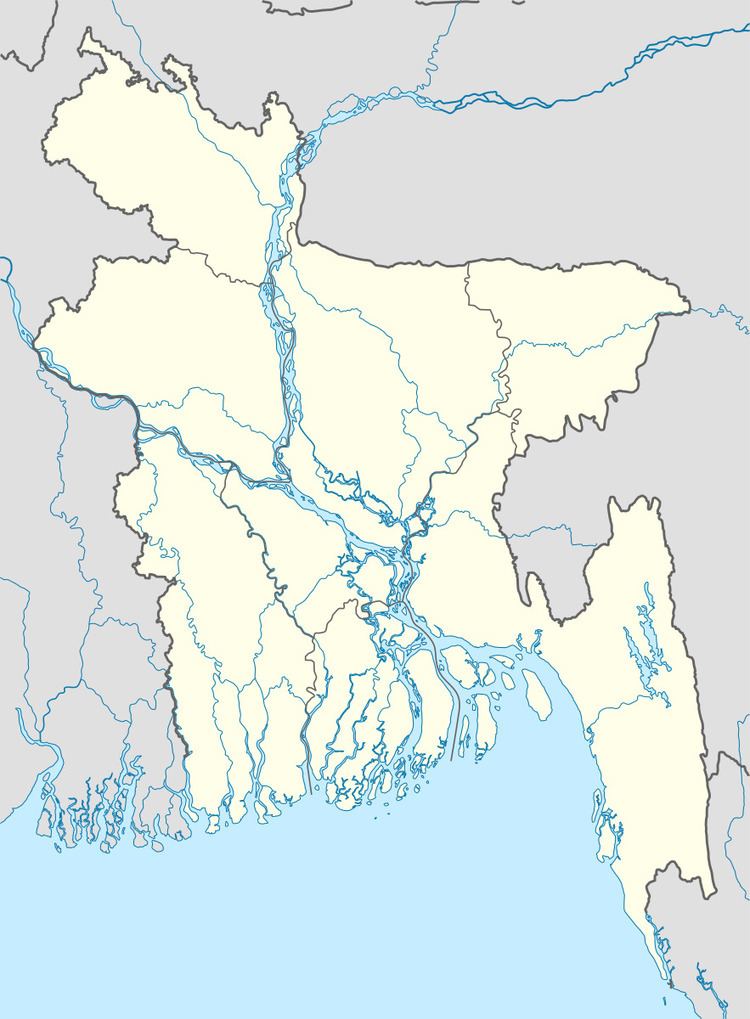
Map of Jamalpur Sadar Upazila, Bangladesh
Geography
Jamalpur Sadar is located at 24.9167°N 89.9583°E / 24.9167; 89.9583 . It has 102,578 households and a total area of 489.56 km².
Demographics
According to the 1991 Bangladesh census, Jamalpur Sadar had a population of 501,924, of whom 263,338 were aged 18 or over. Males constituted 51.47% of the population, and females 48.53%. Jamalpur Sadar had an average literacy rate of 27.6% (7+ years), against the national average of 32.4% .
Administration
Chairman: Volamolliq, from BNP
Vice-Chairman:
Woman vice-chairman:
Upazila Nirbahi Officer (UNO): Mohammad Abdul Salam
Jamalpur Sadar has 19 Unions/Wards, 374 Mauzas/Mahallas, and 333 villages.
References
Jamalpur Sadar Upazila Wikipedia(Text) CC BY-SA