Country India District Dhanbad Vehicle registration JH Elevation 153 m Local time Saturday 11:24 PM | State Jharkhand Time zone IST (UTC+5:30) Website dhanbad.nic.in Population 33,981 (2001) | |
 | ||
Weather 23°C, Wind N at 3 km/h, 32% Humidity | ||
Jamadoba is a census town in Dhanbad district in the Indian state of Jharkhand.
Contents
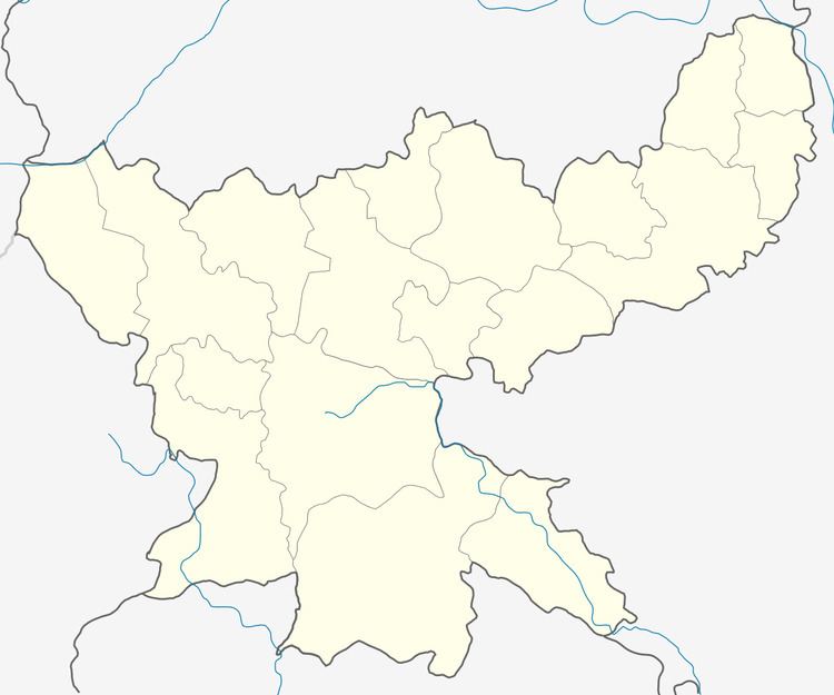
Map of Jamadoba, Jharkhand
Geography
Jamadoba is located at 23.72°N 86.4°E / 23.72; 86.4. It has an average elevation of 153 metres (501 feet).
Famous places
Tata park is a famous place at Jamadoba. The park is maintained by TATA. The park remains open everyday only for Tata employees and their families, but on Sunday, all are allowed to visit the park. Park remains open from 4pm to 7:30pm. On Sunday, many people visit this park for refreshment. There is no charge for entering park. The park is covered with plants and flowers. Tata park is a good place for amusement for people residing there.
Demographics
As of 2001 India census, Jamadoba had a population of 33,981. Males constitute 54% of the population and females 46%. Jamadoba has an average literacy rate of 62%, higher than the national average of 59.5%: male literacy is 71%, and female literacy is 51%. In Jamadoba, 15% of the population is under 6 years of age.
Economy
Tata Steel leased six coal mines with metallurgical coal in Jharia coalfield between 1910 and 1918, These are grouped in two locations – Sijhua and Jamadoba. The Bhelatand colliery of the Sijua Group was then acquired. Subsequently in 1918, Tata Steel acquired Malkera and Sijua as well as Jamadoba, Digwadih and 6&7 Pits Collieries of the Jamadoba Group.
