
Elevation 145 m Area code 06431 | Time zone IST (UTC+5:30) Telephone/STD code 06431 Population 137,963 (2011) | |
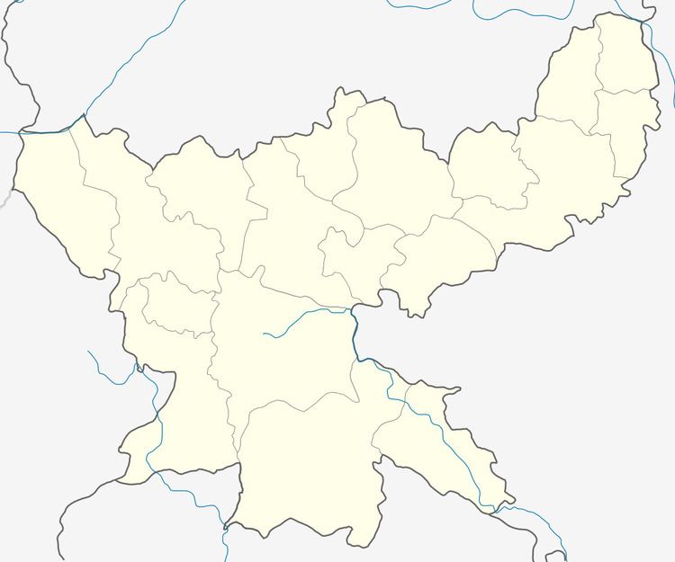 | ||
Jama is a community development block that forms an administrative division in Dumka district, Jharkhand state, India. It is located 16 km from Dumka, the district headquarters.
Contents
Map of Jama, Jharkhand
Geography
Jama, the eponymous CD Block headquarters, is located at 24°22′6″N 87°15′52″E.
Demographics
As per 2011 Census of India Jama CD Block had a total population of 137,963, all of which were rural. There were 69,621 (50 %) males and 68,342 (50 %) females. Scheduled Castes numbered 7,069 and Scheduled Tribes numbered 68,021. Population below 6 years was 23,015.
Jama is a village with a population of 843 as per 2011 census.
Literacy
As per 2011 census the total number of literates in Jama CD Block was 71,132 (61.88 % of the population over 6 years) out of which 44,239 (62 %) were males and 26,893 (38 %) were females.
As per 2011 census, literacy in Dumka district was 61.02.Literacy in Jharkhand (for population over 7 years) was 66.41% in 2011. Literacy in India in 2011 was 74.04%.
Transportation
The Jasidih–Dumka–Rampurhat railway line is fully operational from June 2015. The Jasidih-Dumka sector was operational from 2011. There is a railway station at Jama.