
Platforms in use 2 | ||
 | ||
Primarydestinations: | ||
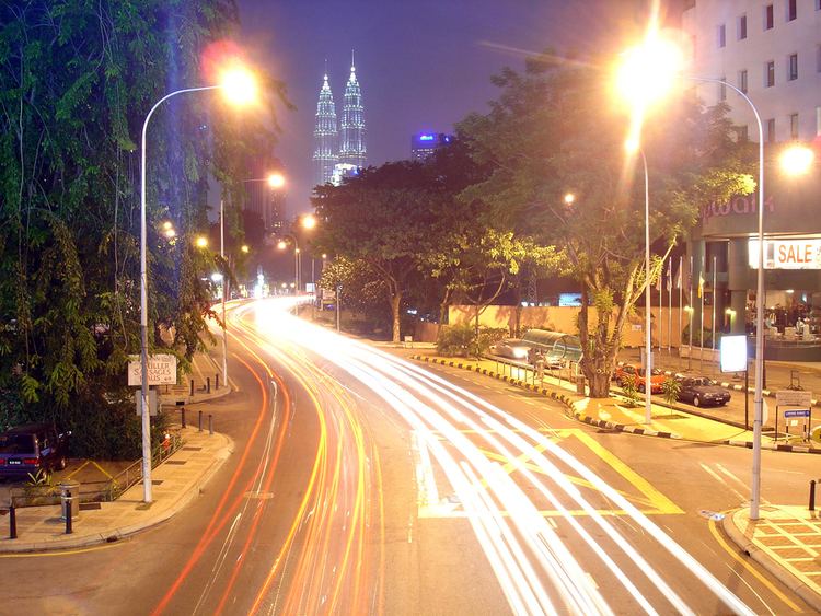
M city jalan ampang kuala lumpur
Jalan Ampang or Ampang Road (Selangor state route B31) is a major road in Klang Valley region, Selangor and Federal Territory of Kuala Lumpur, Malaysia. It is one of the oldest roads in the Klang Valley. It is a main road to Ampang Jaya and is easily accessible from Jalan Tun Razak or Jalan Ulu Klang (now part of the Kuala Lumpur Middle Ring Road 2 Route 28) from the Hulu Kelang or Setapak direction. It is also accessible from Cheras through Jalan Shamelin, from Jalan Tun Razak through Jalan Kampung Pandan via Taman Cempaka, from Kampung Pandan through Jalan Kampung Pandan Dalam via Taman Nirwana, from the Kuala Lumpur Middle Ring Road 2 via Pandan Indah & Taman Kencana and from Hulu Langat town through the mountain pass. Wangsa Maju, Setapak, central Kuala Lumpur, Ampang Park and Salak South surround Ampang. Jalan Ampang became the backbone of the road system linking Ampang to Kuala Lumpur before being surpassed by the Ampang-Kuala Lumpur Elevated Highway (AKLEH) E12, in 2001.
Contents
- M city jalan ampang kuala lumpur
- Map of Jalan Ampang Malaysia
- History
- Pekan Ampang
- Notable features
- Major landmarks along the road
- Maintenance
- Course
- References
Map of Jalan Ampang, Malaysia
History
Kuala Lumpur was founded in 1857 at the confluence of the Sungei Lumpur (now Gombak River) and the Klang River, which now houses the Kuala Lumpur Jamek Mosque. Before the arrival of the Chinese people for the tin mining purposes, Kuala Lumpur was occupied by ethnic Malay settlers most notably Javanese, Mandailings, Bugis and Rawa. Raja Abdullah, who is also the representative of the Sultan is the Klang Malay chieftain was opened the tin mines, thus contributing to the development of Kuala Lumpur. Ampang, the earliest areas in the Klang Valley, opened for tin mining. Thus, a road was built to connect Ampang to Kuala Lumpur which formed Jalan Ampang until now.
Pekan Ampang
Pekan Ampang is situated approximately 3 km from Kampung Lembah Jaya small village. The architecture of the building in the town just like most towns and cities in the developing world during the British colonial period. Pekan Ampang used to be a separate town, but it was absorbed as part of the metropolitan area of Kuala Lumpur.
Notable features
Major landmarks along the road
Maintenance
In Kuala Lumpur, the roads are maintained by Dewan Bandaraya Kuala Lumpur or Kuala Lumpur City Hall (DBKL). In Selangor side, the roads are maintained by the Malaysian Public Works Department (JKR) and Majlis Perbandaran Ampang Jaya (MPAJ).
Course
The road generally runs in an east-west direction, starting from the junction of Leboh Ampang and Jalan Gereja in the Masjid Jamek area. The road continues northeastward, passing Bukit Nanas on the north side of the hill and following the Klang River until Dang Wangi, where the river turns north. The road keeps running eastward past Wisma Denmark and the Petronas Twin Towers, past embassy row until it reaches the eastern KL suburb of Ampang.