
Country Malaysia Time zone MST (UTC+8) Dialling code +60 3 Local time Monday 4:31 AM | Constituency Wangsa Maju Postcode 53300 Postal code 53300 Owner Prasarana Malaysia Platforms in use 2 | |
 | ||
State Federal Territory of Kuala Lumpur Weather 25°C, Wind E at 3 km/h, 91% Humidity Mayor Mhd Amin Nordin Abdul Aziz | ||
Wangsa maju fun run 2017
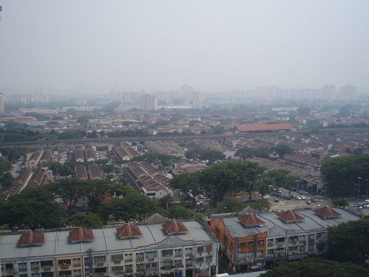
Wangsa Maju (Chinese: 旺沙马朱) is a major township in Kuala Lumpur, Malaysia. This area is surrounded by Setapak, Taman Melati and Gombak district in Selangor.
Contents
- Wangsa maju fun run 2017
- Map of Wangsa Maju 53300 Kuala Lumpur Federal Territory of Kuala Lumpur Malaysia
- Grella s wangsa maju opposite wangsa walk
- History
- Facilities
- Public transport
- Car
- Wangsa Maju Member of Parliament
- References
Map of Wangsa Maju, 53300 Kuala Lumpur, Federal Territory of Kuala Lumpur, Malaysia
Wangsa Maju in recent years has seen a lot of development, transforming this once traditional Chinese-majority township into a bustling urban areas with more and more high rise buildings being built to cater the increasing population. Although it's a relatively small area (only 65k+ voters) compared to its neighbouring Setiawangsa and Gombak, it has a very high concentration of Chinese temples and cultural activities taking place at all time. For example, there are usually over 10 'getai' or mega fest organised for Hungry Ghost Festival celebration in the 7th month of Chinese calendar.
Grella s wangsa maju opposite wangsa walk
History
The present site of Wangsa Maju was previously occupied by Setapak rubber estates from the 1900s until the 1980s, when the township was formed in 1984. Following the opening of Tunku Abdul Rahman University College (TARC) & Universiti Tunku Abdul Rahman (UTAR), Wangsa Maju has since become a major residential area for the students of TARC & UTAR.
Facilities
Public transport
Wangsa Maju is home to two RapidKL LRT stations, KJ3 Wangsa Maju LRT Station and KJ4 Sri Rampai LRT Station.
Car
Wangsa Maju is well served by federal routes and expressways. Jalan Genting Klang links downtown Kuala Lumpur with Wangsa Maju and Setapak areas. Motorists from Ampang and Pandan Indah will instead opt for the MRR2 . The DUKE cuts through the southern part of Wangsa Maju. The old road to Gombak and Bentong (road ) also begins nearby.
Wangsa Maju Member of Parliament
The area was carved out of Setiawangsa Parliementary seat (P115) in 2004, resulting an independent Wangsa Maju Parliementary seat (P116). The area was represented by Datuk Yew Teong Loke (MCA) in 2004. In 2008 he lost to Wee Chee Keong (PKR) by merely 151 votes.
The incumbent MP is Datuk Dr Tan Kee Kwong (of PKR) who won with majority of 5511 votes in the 13th general elections.