Vehicle registration PB-22(Earlier Pb-61) Population 47,275 (2001) | Time zone IST (UTC+5:30) Elevation 176 m Local time Saturday 8:46 PM | |
 | ||
Weather 23°C, Wind E at 5 km/h, 44% Humidity University Ghubaya College of Engineering and Technology Neighborhoods Aggarwal Colony, Dashmesh Nagri, Gandhi Nagar, Vijay Nagar | ||
Jalalabad is a city and a municipal council in Fazilka district in the Indian state of Punjab.
Contents
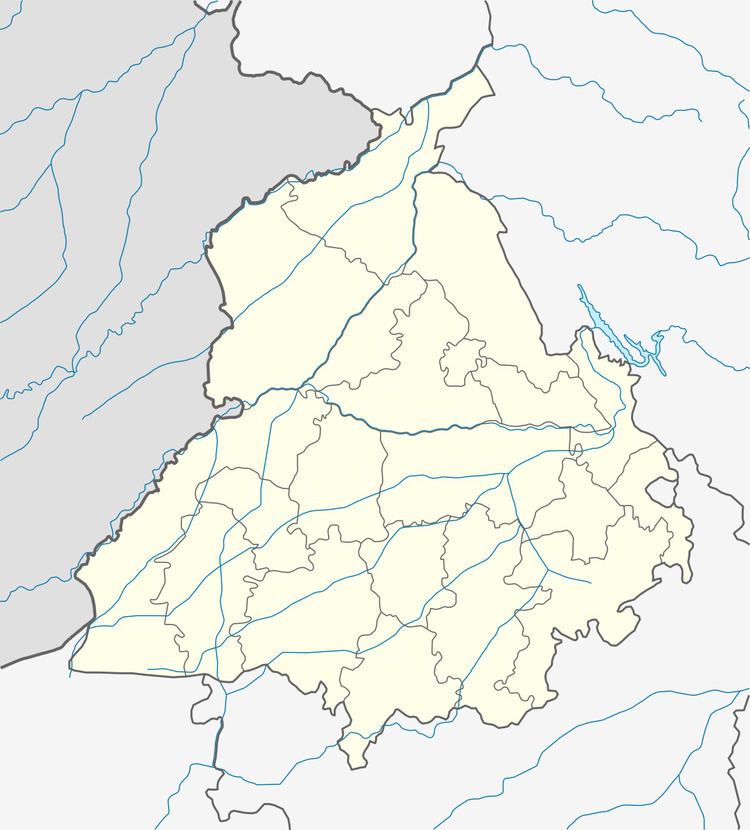
Map of Jalalabad, Punjab 152024
History
Mamdot Nawabi was created by Qutubuddin Khan in 1800 in the Firozpur district. He conquered Mamdo from the Rai of Raikot in 1800. Jalalabad was founded by Nawab of Mamdo as its capital. It is named after Nawab Jalaluddin Khan, son of Nawab Qutubuddin Khan, very rich city in punjab and known for vast industrial area.
Geography
Jalalabad is a constituency in the Indian state of Punjab. The Fazilka district is one of six border districts in Punjab, out of 22 total districts. In the Fazilka district, there are three tehsils: Jalalabad West, Fazilka and Abohar. The Pakistani border is around 15 km from Jalalabad. Jalalabad has an average elevation of 176 metres (577 ft).
