
Population 8,903 (2001) ISO 3166 code ISO 3166-2:IN | Time zone IST (UTC+5:30) Local time Saturday 6:34 PM | |
 | ||
Weather 29°C, Wind NW at 2 km/h, 23% Humidity | ||
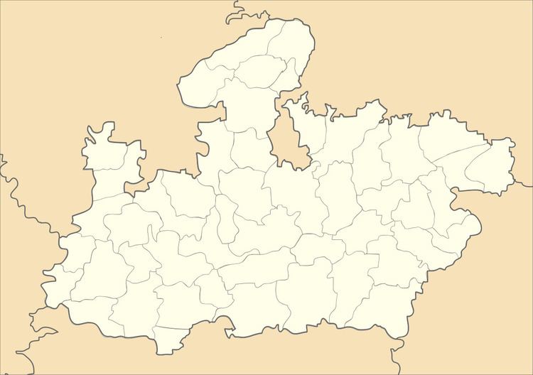
Jaitwara is a town and a nagar panchayat in Satna district in the Indian state of Madhya Pradesh.
Contents
Map of Jaitwara, Madhya Pradesh 485221
Demographics
As of 2001 India census, Jaitwara had a population of 8903. Males constitute 51% of the population and females 49%. Jaitwara has an average literacy rate of 59%, lower than the national average of 59.5%: male literacy is 69%, and female literacy is 50%. In Jaitwara, 18% of the population is under 6 years of age. It is located near the border of Uttar Pradesh. The nearest city is Satna.
References
Jaitwara Wikipedia(Text) CC BY-SA