
Use Hiking Lowest point 2,972 ft (906 m) Length 7,242 m | Highest point 4,557 ft (1,389 m) Trail difficulty Moderate to strenuous Designation National Recreation Trail | |
 | ||
Location Chattahoochee National Forest Elevation gain/loss 903 feet (280 m) loss approximately. Trailheads | ||
Brasstown bald hike jacks knob trail 6 14 11
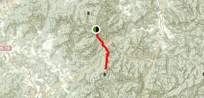
Jacks Knob Trail is a hiking trail that has been designated as a National Recreation Trail in Georgia. The trail is 4.5 miles (7.2 km) long and is located in the Chattahoochee National Forest in the Brasstown Ranger District. The trail is managed by the U.S. Forest Service.
Contents
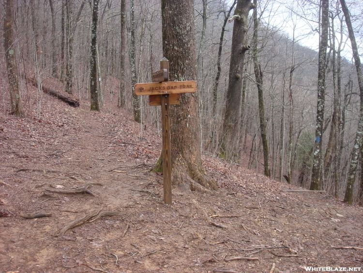
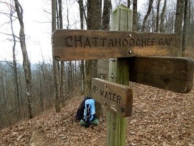
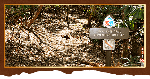
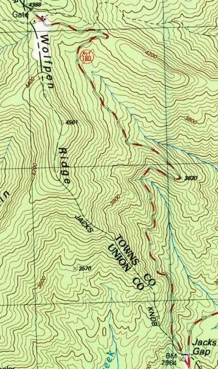
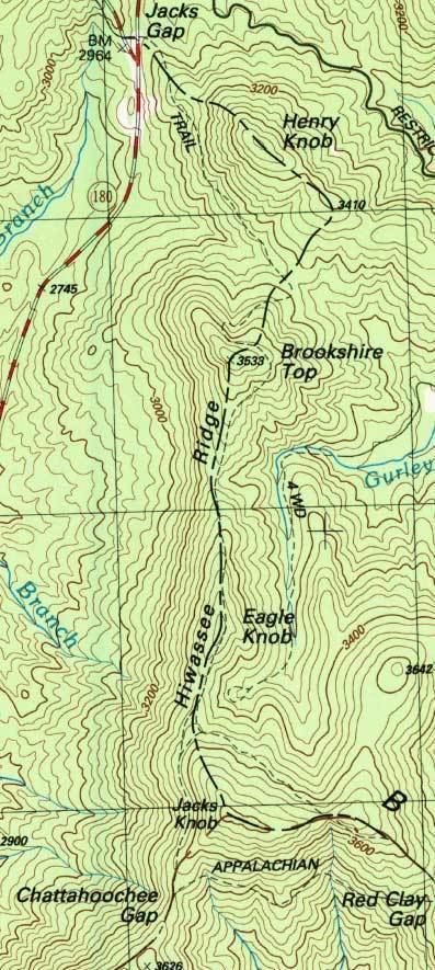
The trail starts at Brasstown Bald and heads in a southernly direction along the boundary between Union and Towns counties. After 2.2 miles (3.5 km) and a descent of nearly 1,500 feet (460 m), it reaches Jacks Gap and crosses Georgia State Route 180. Shortly after reaching Jacks Gap, Jacks Knob Trail enters the Mark Trail Wilderness. The trails ends at an intersection with the Appalachian Trail below the peak of Jacks Knob at an elevation of about 3,550 feet (1,080 m).
Jacks knob trail climbing up brasstown bald
References
Jacks Knob Trail Wikipedia(Text) CC BY-SA