
Palestine grid 174/140 Name meaning The hill | ||
 | ||
Weather 13°C, Wind N at 6 km/h, 63% Humidity | ||
Jaba’ (Arabic: جبع; Hebrew: ג'בע) is a Palestinian town in the Jerusalem Governorate, located 10 kilometers northeast of Jerusalem in the central West Bank. According to the Palestinian Central Bureau of Statistics, the town had a population of 3,239 in 2006.
Contents
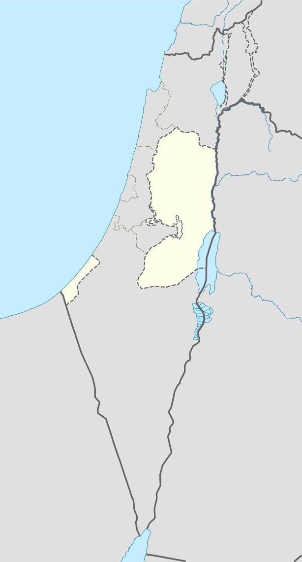
Map of Jaba'
History
Guérin identified Jaba' with ancient Geba.
Ottoman era
In 1838, Edward Robinson noted it as a small village, and half in ruins. There were occasional large hewn stones, indicating antiquity. He also noted a small building, having the appearance of an ancient church, and a square tower.
In 1863 Guérin noted: "Thirty of the houses only are standing. On the highest point of the plateau on which they are placed is a little fort or Burj, the lower courses of which, if they are not ancient, are at least built of ancient stones. Here and there cisterns and caves cut in the rock show the antiquity of the place. There is also an old wall of great square stones, only a few vestiges of which remain." An Ottoman village list from about 1870 found that the village had a population of 100, in a total of 35 houses, though the population count included men, only.
In 1883, the Palestine Exploration Fund's Survey of Western Palestine (SWP) described it as "A village of moderate size standing on a rocky knoll. On the north is a deep valley (Wady Suweinit); on the south the ground falls less abruptly, but is very rocky ; on the west the ridge is flat; and on the east is a plain extending for about 1 1/2 miles, and about 1/2 mile wide north and south. This plain is open arable land, extending to the brink of the precipitous cliffs on the north. The village has caves beneath, at the foot of the knoll [...] and there are olives on the west, north, and south. There is a central high house like a tower in the village.
They further noted: "There is a large cave beneath the village on the east, about 20 to 30 paces square, with a passage on the left at the back, extending 15 paces. This is partly cut, partly natural, with a double entrance. A second like it is said to exist nearer the village. West of the village, by the old road, are cisterns, rock-cut, and in one case roofed with a rubble tunnel-vault."
British Mandate era
In the 1922 census of Palestine conducted by the British Mandate authorities, Juba had a population of 229, all Muslims, increasing in the 1931 census to 286 Muslim inhabitants, in 53 inhabited houses.
In 1945 Jaba had a population of 350 Muslims with 13,407 dunams of land, according to an official land and population survey. Of this, 282 dunams were plantations and irrigable land, 3,794 used for cereals, while 24 dunams were built-up land.
1948-1967
In the wake of the 1948 Arab–Israeli War, and after the 1949 Armistice Agreements, Jaba' came under Jordanian rule.
Post-1967
After the Six-Day War in 1967, Jaba' has been under Israeli occupation.