
Time zone PET (UTC-5) Elevation 3,770 m | Region Puno Capital Ituata UBIGEO 210307 Area 1,201 km² | |
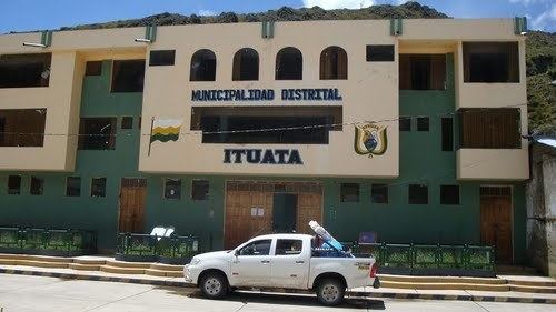 | ||
Ituata District is one of ten districts of the province Carabaya in Peru.
Contents
Geography
The Kallawaya mountain range traverses the district. Some of the highest mountains of the district are listed below:
Ethnic groups
The people in the district are mainly indigenous citizens of Quechua descent. Quechua is the language which the majority of the population (92.94%) learnt to speak in childhood, 6.02% of the residents started speaking using the Spanish language (2007 Peru Census).
References
Ituata District Wikipedia(Text) CC BY-SA