
Population 125 Civil parish Itteringham Area 8.2 km² | OS grid reference TG145306 Sovereign state United Kingdom Local time Friday 2:23 AM | |
 | ||
Weather 6°C, Wind W at 21 km/h, 81% Humidity | ||
Itteringham is a village and civil parish in the English county of Norfolk, some 4 1⁄2 miles (7.2 km) northwest of the market town of Aylsham. It covers an area of 8.20 km2 (3.17 sq mi) and had a population of 136 in 60 households at the 2001 census, the population reducing to 125 at the 2011 Census. For the purposes of local government, it falls within the district of North Norfolk.
Map of Itteringham, UK
Itteringham lies in the valley of the River Bure that eventually becomes a major part of the Norfolk Broads. The village has a pub, the Walpole Arms and a village shop. The converted watermill is a historical feature within the village. Mannington Hall is included in the parish.
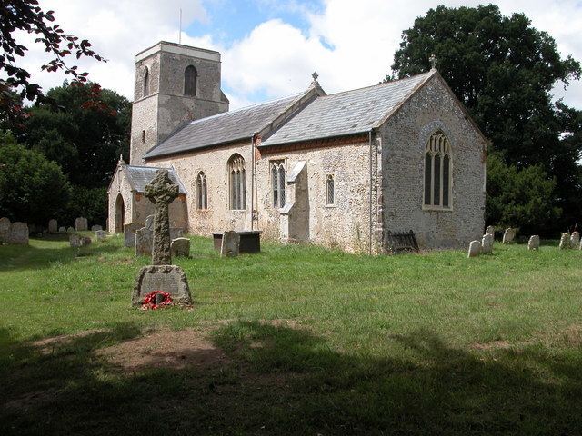
The poet George Barker lived in the village and is buried in the churchyard.
References
Itteringham Wikipedia(Text) CC BY-SA