
Website Official Map of Itna | Time zone BST (UTC+6) Area 401.9 km² | |
 | ||
Itna (Bengali: ইটনা) is an Upazila of Kishoreganj District in the Division of Dhaka, Bangladesh.
Contents
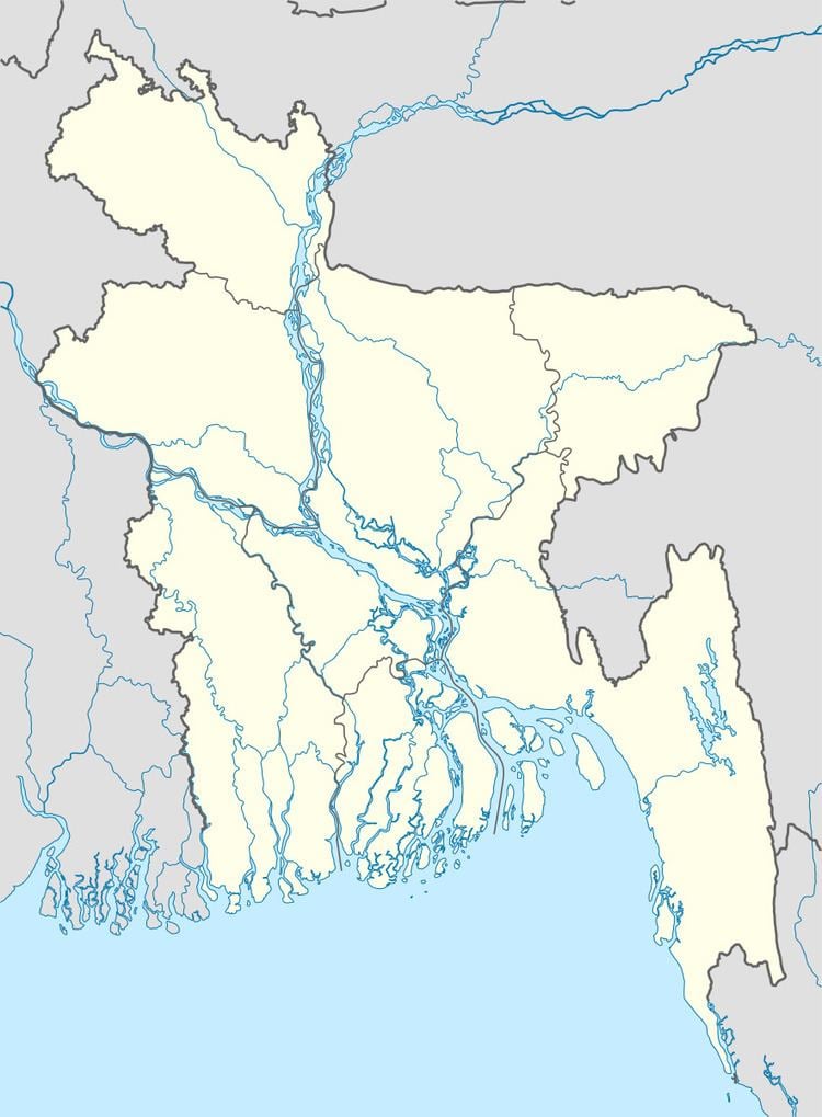
Map of Itna Upazila, Bangladesh
Geography
Itna is located at 24.5333°N 91.0833°E / 24.5333; 91.0833 . It has 23943 households and total area 401.94 km².
Demographics
As of the 1991 Bangladesh census, Itna has a population of 132948. Males constitute 52.14% of the population, and females 47.86%. This Upazila's eighteen up population is 63852. Itna has an average literacy rate of 16% (7+ years), and the national average of 32.4% literate.
Administration
Itna has 8 Unions/Wards, 85 Mauzas/Mahallas, and 117 villages.
References
Itna Upazila Wikipedia(Text) CC BY-SA