
Time zone EET (UTC+2) Local time Friday 3:42 AM | Subdistrict Al-Saan Nahiyah City Qrya Pcode C3273 Population 2,118 (2004) | |
 | ||
Weather 5°C, Wind SW at 6 km/h, 89% Humidity | ||
Ithriya (Arabic: أثريا) is a Syrian village located in Al-Saan Nahiyah in Salamiyah District, Hama. According to the Syria Central Bureau of Statistics (CBS), Asrieh had a population of 2118 in the 2004 census.
Contents
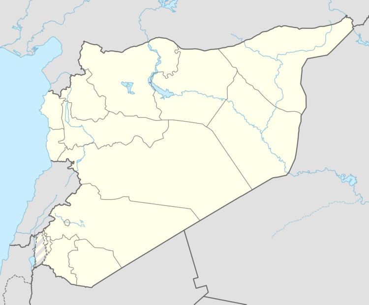
Map of Ithriyah, Syria
History
During the Syrian Civil War, Ithriyah became a strategically important point. It lays on the last highway under government control connecting the city of Aleppo to Khanasir and the Salamiyah region. In the Ithriyah-Raqqa offensive (February–March 2016) and Ithriyah-Raqqa offensive (June 2016), the town was used as a launching point for offensives against IS.
References
Ithriya Wikipedia(Text) CC BY-SA