
Manatiq (Districts) 5 ISO 3166 code SY-HM Area 8,883 km² Team Taliya SC | Time zone EET (UTC+2) Main language(s) Arabic Population 1.628 million (2011) | |
 | ||
University Al-Wataniya Private University Points of interest Masyaf Castle, Afamia, The Biggest waterwheel, Waterwheel, Chmemis Castle | ||
Hama Governorate (Arabic: مُحافظة حماة / ALA-LC: Muḥāfaẓat Ḥamā) is one of the fourteen governorates (provinces) of Syria. It is situated in western-central Syria. Its area depends on sources. It varies from 8,844 km² to 8,883 km². Governorate has a population of 1,593,000 (2010 estimate). The capital is Hama.
Contents
Map of Hama, Syria
Land use and agriculture
Hama is an important agricultural and industrial center in Syria, with 3,680 square kilometres (1,420 sq mi), over a third of the governorate's area, under cultivation. The governorate produces over half of the national crop of potatoes and pistachio nuts, as well as growing a variety of other vegetables. Livestock ranching is also common in the governorate.
Districts
The governorate is divided into five districts (manatiq):
These are further divided into 22 sub-districts (nawahi).
Demographics
Hama Governorate has the most important Isma'ilism community in Syria. The Governorate has a large Alawites and Christians population.
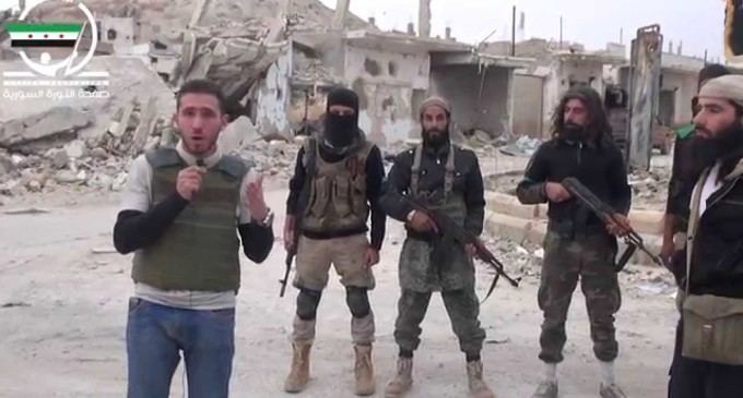
Civil War
For the most part, the governorate has stayed under the Assad regime's control. As of February 2016, it remains under the Syrian Government's control, save for Opposition forces straddling the border with Idlib and the Islamic State of Iraq and the Levant occupying parts of the rural east.