
Area 2,736 km² | Local time Thursday 9:29 PM | |
 | ||
Weather 22°C, Wind E at 13 km/h, 70% Humidity | ||
Itamarandiba ([itamarɐ̃dʒibɐ]) is a Brazilian municipality located in the north-center of the state of Minas Gerais. Its population as of 2007 was 31,883 living in a total area of 2,736 km².
Contents
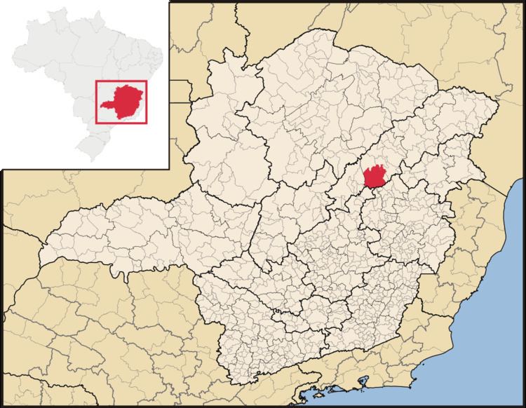
Map of Itamarandiba, State of Minas Gerais, Brazil
Location
The city belongs to the statistical mesoregion of Jequitinhonha and to the statistical microregion of Capelinha. It became a municipality in 1862.
Itamarandiba is located at an elevation of 910 meters near the headwaters of the Rio Araçuai, which flows north into the Jequitinhonha River. It is northeast of Diamantina, Highway access is made by BR-451 and MG-214. This is one principal city of region.
The distance to Belo Horizonte is 380 km. Neighboring municipalities are: Diamantina, Aricanduva, Carbonita, Turmalina, Capelinha, Senador Modestino Gonçalves, Veredinha, Rio Vermelho, São Sebastião do Maranhão, Água Boa, and Coluna.
The municipality contains the 13,654 hectares (33,740 acres) Serra Negra State Park, created in 1998.
Economy
The main economic activities are services, agriculture, and small industries. The planting of eucalyptus for charcoal production is important and coffee cultivation has been increasing in recent years. The GDP in 2005 was R$94 million, with 60 million from services, 7 million from industry, and 20 million from agriculture. There were 1,981 rural producers on 84,000 hectares of land. Only 93 farms had tractors (2006). The main crops (2007) were eucalyptus trees, sugarcane, coffee (800 hectares), beans, and corn (2,600 hectares). There were 30,000 head of cattle (2006). In 2007 there was 1 bank.
Social indicators
Itamarandiba is ranked in the bottom tier of municipalities in the state in human development.
The highest ranking municipality in Minas Gerais in 2000 was Poços de Caldas with 0.841, while the lowest was Setubinha with 0.568. Nationally the highest was São Caetano do Sul in São Paulo with 0.919, while the lowest was Setubinha. In more recent statistics (considering 5,507 municipalities) Manari in the state of Pernambuco has the lowest rating in the country—0,467—putting it in last place.
There were 17 health clinics and 2 hospitals with 90 beds in 2005. Educational needs were met by 44 primary schools and 1 middle school. There were campuses of a private college and a public college.