
Basin size 7,700 km (3,000 sq mi) Discharge 90 m³/s | Length 255 km Source Janailhac | |
 | ||
Bridges Pont Des Barris, Pont Saint Georges | ||
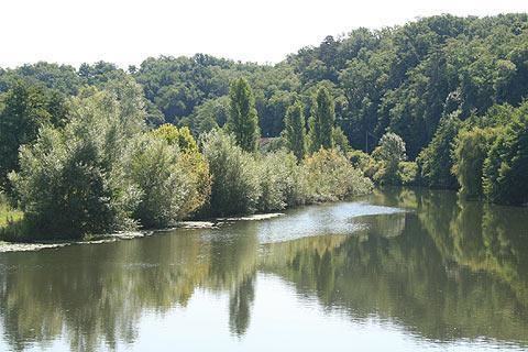
The Isle (Occitan: Eila) is a 255-kilometre (158 mi) long river in south-western France, right tributary of the Dordogne. Its source is in the north-western Massif Central, near the town Nexon (south of Limoges). It flows south-west through the following départements and towns:
Map of Isle, France
It flows into the Dordogne in Libourne. Among the tributaries of the Isle are the Auvézère, the Loue, the Beauronne and the Dronne.
References
Isle (river) Wikipedia(Text) CC BY-SA