
Max. length 85 km (53 mi) Average depth 20.1 m (66 ft) Area 1,223 km² Catchment area 20,000 km² | Basin countries Canada Surface area 1,223 km (472 sq mi) Surface elevation 227 m Catchment area 20,000 km² Shore length 745 km Cities Wasagamack, Manitoba | |
 | ||
Location Division No. 22,Northeastern Manitoba | ||
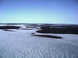
Island Lake is a lake in northeastern Manitoba in Canada, near the Ontario border. The lake covers a total area of 1,223 square kilometres (472 sq mi), making it the 6th largest lake in the province. The lake is in the Hayes River drainage basin. The Island Lake River flows north from the northwest section of the lake into Gods Lake via Goose Lake and Beaver Lake. Gods Lake drains north through Gods River into the Hayes River.
Contents
Map of Island Lake, Manitoba, Canada
Settlements
Located on the lake are the First Nations communities of Wasagamack, St. Theresa Point and Garden Hill and the northern settlement of Island Lake which in 2011 had a combined population of 7,120.
Wasagamack had a population of 1,411 in the Canada Census of 2011 and St. Theresa Point had 2,871. Both are located on the western side of the lake. About 18 km (11 miles) east across the bay are Garden Hill with a population of 2,776 and nearby Island Lake with 62 residents. The northern settlement of Island Lake is located on several islands.