
Country Afghanistan Time zone UTC+4:30 Local time Thursday 6:53 AM | Elevation 731 m | |
 | ||
Weather 5°C, Wind W at 6 km/h, 91% Humidity | ||
Islām Qala (Persian/Pashto: اسلام قلعه, also Eslām Qalʿeh), also known as Kafir Qala, is a border town in the western Herat province of Afghanistan, near the border with Iran. It is the official port of entry from neighboring Taybad, Iran.
Contents
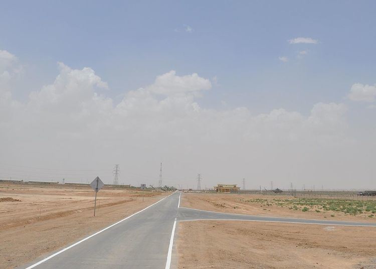
Map of Islam Qala, Afghanistan
Islam Qala is part of the Kohsan District in Herat Province and is linked to the city of Herat via the Islam Qala-Herat Highway. Trade between Afghanistan and Iran passes through this town.
The town has a population of about 16,408. The Afghan Border Police (ABP) secures the border while the regular Afghan National Police are in charge of all other law enforcement activities. The Afghan military also has a small base at Islam Qala.
The town was the site of an important victory against the Persians. At 1818 the Afghan Vizier defeated the Persian invasion at the Battle of Kafir Qala.
Demographics
The district is populated by Tajiks, Pashtuns, and Hazara. The people of Islam Qala District are mostly Sunni Muslims and a minority are Shia Muslims.
Climate
With an influence from the local steppe climate, Islam Qala features a cold semi-arid climate (BSk) under the Köppen climate classification. The average temperature in Islam Qala is 17.3 °C, while the annual precipitation averages 225 mm.
July is the hottest month of the year with an average temperature of 29.5 °C. The coldest month January has an average temperature of 5.5 °C.