Coat of arms Flag Area 103.5 km² | Local time Thursday 5:32 AM | |
 | ||
Administratively subordinated to town of republic significance of Ishimbay Administrative center of Ishimbaysky District, town of republic significance of Ishimbay Municipal district Ishimbaysky Municipal District Weather -12°C, Wind SE at 0 km/h, 78% Humidity | ||
Ishimbay (Russian: Ишимба́й; Bashkir: Ишемба́й, Işembay) is a town in the Republic of Bashkortostan, Russia, located on the banks of the Belaya and Tayruk Rivers, 166 kilometers (103 mi) south of Ufa. Population: 66,259 (2010 Census); 70,195 (2002 Census); 69,896 (1989 Census).
Contents
- Map of Ishimbay Republic of Bashkortostan Russia
- Administrative and municipal status
- Climate
- Demographics
- Economy
- References
Map of Ishimbay, Republic of Bashkortostan, Russia
Administrative and municipal status
Within the framework of administrative divisions, Ishimbay serves as the administrative center of Ishimbaysky District, even though it is not a part of it. As an administrative division, it is incorporated separately as the town of republic significance of Ishimbay—an administrative unit with the status equal to that of the districts. As a municipal division, the town of republic significance of Ishimbay is incorporated within Ishimbaysky Municipal District as Ishimbay Urban Settlement.
Climate
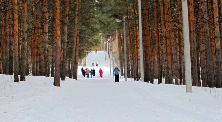
Climate of Ishimbay is continental with the average annual temperature of +3.31 °C (37.96 °F). Average January temperature is −12.3 °C (9.9 °F); average temperature in July is +20.3 °C (68.5 °F).
Demographics
Ethnic composition:
Economy
In Ishimbai is one of the offices of oil company Bashneft.
Industrial production is represented by factories producing tracked articulated, all-terrain carrier (engineering company "Vityaz"), drilling equipment (Ishimbayskiy Machine Works), remote manipulators (INMAN, belongs Palfinger).
