
 | ||
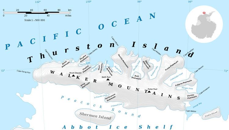
Isbrecht Glacier (72°14′S 100°46′W) is a small glacier flowing south from Thurston Island in Antarctica between Cox Glacier and Hale Glacier. It was named by the Advisory Committee on Antarctic Names after JoAnn Isbrecht of the United States Geological Survey (USGS), Flagstaff, Arizona, a satellite image processing specialist who was part of the USGS team that compiled the 1:5,000,000-scale Advanced Very High Resolution Radiometer maps of Antarctica and the 1:250,000-scale Landsat image maps of the Siple Coast area in the 1990s.
Contents
Map of Isbrecht Glacier, Antarctica
Maps
References
Isbrecht Glacier Wikipedia(Text) CC BY-SA