
Population 24,267 (2015) Website Isaac Region Area 58,862 km² | Established 2008 Founded 2008 | |
 | ||
Points of interest Great Barrier Reef, Theresa Creek Dam, Clermont Museum, Peak Range National, Epping Forest National | ||
The Isaac Region is a local government area located in Central Queensland, Queensland, Australia created in March 2008 as a result of the report of the Local Government Reform Commission released in July 2007.
Contents
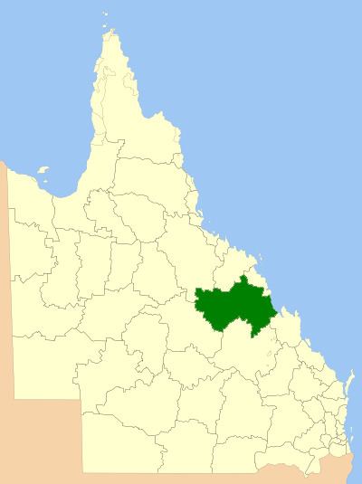
Map of Isaac, QLD, Australia
History
Prior to 2008, the Isaac Region was an entire area of three previous and distinct local government areas:
The report recommended that the new local government area should not be divided into wards and elect eight councillors and a mayor. The Isaac Regional Council covers an area of 58,862 square kilometres (22,727 sq mi), contain an estimated resident population in 2006 of 20,443 and have an operating budget of A$46.0m.
The region takes its name from the Isaac River which in turn takes its name from Queensland pioneer Frederick Isaac who accompanied the explorer Ludwig Leichhardt on his first expedition.
Towns and localities
The Isaac Region includes the following settlements:
* - The former town of Blair Athol, obliterated by the Blair Athol coal mine was within the region.
Population
The populations given relate to the component entities prior to 2008. The next census, due in 2011, will be the first for the new Region.