
Elevation 4,977 m | ||
 | ||
Similar Hindu Kush, Broghol, Wakhjir Pass, Kilik Pass, Mintaka Pass | ||
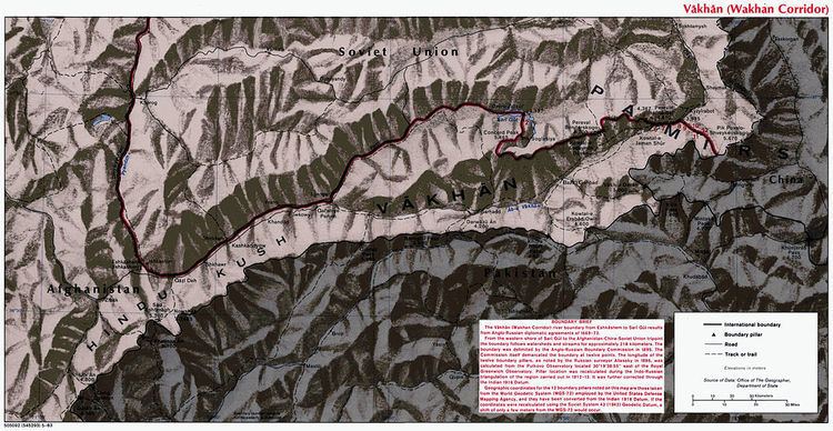
Irshad pass (el. 4,977 metres (16,329 ft)); spelled also as Ershād Yūvīn, Yirshod Wuyin, Irshad Pass, Irshad Urween, Irshād Uwin Pass, Kotale Ers̄āḏ Owīn, Kowtal-e Ershād Owīn; is a high mountain pass that connects Chapursan river valley (upper Hunza valley) in Gojal tehsil of Gilgit district in Gilgit-Baltistan, Pakistan with Wakhan Corridor in Afghanistan.
Map of Irshad Pass
According to a map shown in the National Geographic Magazine the height of the Irshad Pass is slightly higher than the figure given above at: 4,979 m. or 16,335 ft. The article mentions that the few remaining nomadic Kyrgyz people of the Wakhan Corridor, who total only about 1,100 people now, cross the Irshad Pass in spring or autumn to trade animals for supplies at Babaghundi Ziarat in north-western Hunza, Pakistan.