
Country United States Time zone CST (UTC-6) Area 94.9 km² Local time Wednesday 1:05 PM | Established May, 1858 Elevation 190 m Population 625 (2010) | |
 | ||
ZIP codes 60911, 60928, 60930, 60970 Weather -2°C, Wind NW at 18 km/h, 52% Humidity | ||
Iroquois Township is one of twenty-six townships in Iroquois County, Illinois, USA. As of the 2010 census, its population was 625 and it contained 279 housing units. Iroquois Township was formed from a portion of Middleport Township as Westfield Township in May 1858; The name was changed to Iroquois Township on an unknown date.
Contents
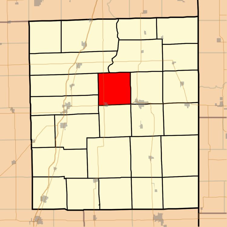
- Map of Iroquois Township IL USA
- Geography
- Cities towns villages
- Cemeteries
- Major highways
- Airports and landing strips
- School districts
- Political districts
- References
Map of Iroquois Township, IL, USA
Geography
According to the 2010 census, the township has a total area of 36.64 square miles (94.9 km2), of which 36.28 square miles (94.0 km2) (or 99.02%) is land and 0.36 square miles (0.93 km2) (or 0.98%) is water.
Cities, towns, villages
Cemeteries
The township contains these four cemeteries: Flesher, Kirby, Pierce and Wilson.
Major highways
Airports and landing strips
School districts
Political districts
References
Iroquois Township, Iroquois County, Illinois Wikipedia(Text) CC BY-SA