
Basin size 2,091 sq mi (5,420 km) Length 166 km | GNIS ID 410927 Source elevation 183 m | |
 | ||
Discharge Average rate:1,741 cubic feet per second (49.3 m/s) | ||
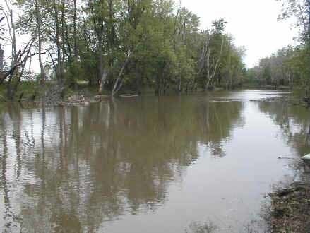
The Iroquois River is a 103-mile-long (166 km) tributary of the Kankakee River in northwestern Indiana and northeastern Illinois in the United States. It was named for the Iroquois people. Via the Kankakee and Illinois rivers, it is part of the watershed of the Mississippi River.
Contents
Map of Iroquois River, United States
Course
The Iroquois River rises in Jasper County, Indiana, and flows generally west-southwestwardly through Newton County, Indiana, and Iroquois County, Illinois, where it turns northward and flows into Kankakee County, Illinois. It enters the Kankakee River from the south in Kankakee County, opposite the village of Aroma Park, about 4 miles (6 km) southwest of the city of Kankakee.
Along its course the Iroquois passes the town of Rensselaer, Brook, and Kentland in Indiana and the towns of Iroquois, Watseka and Sugar Island in Illinois.
Variant names
According to the Geographic Names Information System, the Iroquois River, or portions thereof, has also been known as: