
Time zone EST (UTC−5) Area 112.1 km² Population 959 (2011) | Constituted July 1, 1855 Postal code(s) G6H 2N7 Local time Wednesday 11:52 AM Province Québec | |
 | ||
Weather -4°C, Wind NW at 13 km/h, 91% Humidity | ||
Irlande is a municipality in Les Appalaches Regional County Municipality in the Chaudière-Appalaches region of Quebec, Canada. Its population was 959 as of the Canada 2011 Census.
Contents
Map of Irlande, QC, Canada
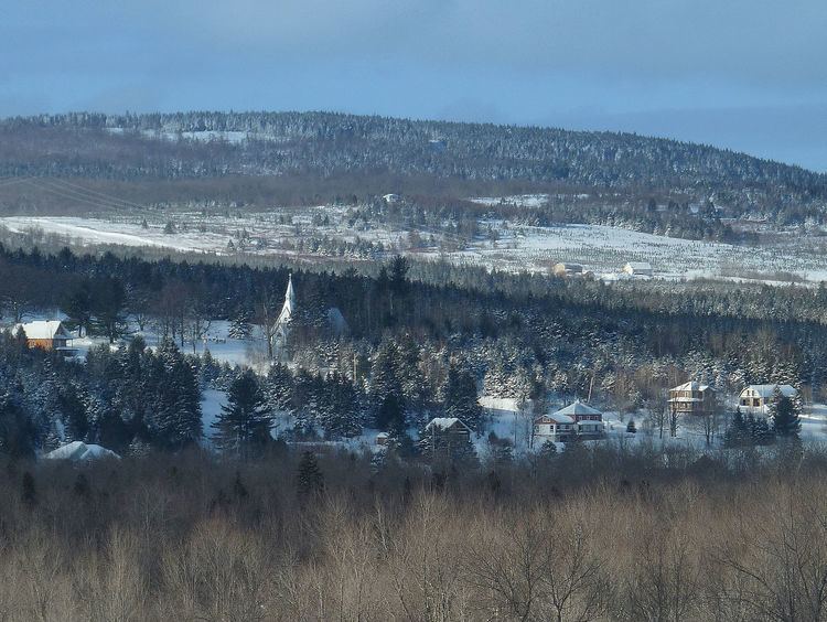
Irlande does not have a town or village centre, but the hamlet of Maple Grove, at the intersection of Chemins Craig and Gosford, constitutes the only notable urban agglomeration. This is where the Holy Trinity Anglican Church and the rectory are located.
Name
The township of Ireland was first colonized by Irish settlers, who called the area "New Ireland." The municipality kept the English spelling until 1987, when it took the French "Irlande". "Irlande" is the French name for Ireland.
References
Irlande Wikipedia(Text) CC BY-SA