
OS grid reference NY238390 Post town WIGTON Local time Wednesday 10:21 AM | Sovereign state United Kingdom Postcode district CA7 Dialling code 016973 UK parliament constituency Workington | |
 | ||
Weather 9°C, Wind SW at 14 km/h, 78% Humidity | ||
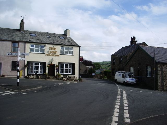
Ireby is a village in Cumbria, England, with a population of around 180. Ireby forms part of the civil parish of Ireby and Uldale; for local government purposes it is in the ward of Boltons, under the authority of Allerdale Borough Council. Historically it was in the county of Cumberland – since 1974 it has been in Cumbria. It is located above the River Ellen, just outside the Lake District National Park, in the area locally called Back o'Skiddaw, with views to the Caldbeck Fells. The nearest towns are Wigton, 7 miles away, and Cockermouth and Keswick, both 12 miles distant. Nearby villages include Uldale, Torpenhow, Boltongate and, slightly further away, Caldbeck.
Map of Ireby, Wigton, UK
It was granted a market charter in 1237, which however was later lost to Cockermouth as it was proving detrimental to the town.
Ireby has two village halls, the main "Globe Hall" and the smaller WI Hall. The 'Sun Inn' pub was a haunt of John Peel and closed a few years ago. Ireby has a music festival attracting a wide range of popular musicians and capacity audiences. In 2010 the Festival had Kate Rusby playing amongst others and all the tickets were sold weeks before the event. A large marquee extends the venues which are all around the village - the two halls, St. James's Church and The Lion.