
Existed: 1934 – present Length 23.8 km | Constructed 1934 | |
 | ||
Counties Sac County, Iowa, Buena Vista County, Iowa | ||
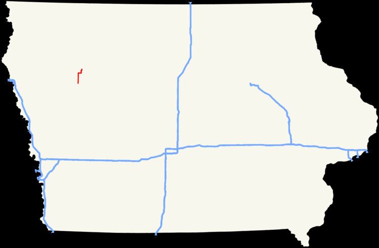
Iowa Highway 110 (Iowa 110) is a north–south state highway in northwestern Iowa. It is 15 miles (24 km) long. Iowa 110 begins at U.S. Route 20 (US 20) south of Schaller and ends in Storm Lake at Iowa Highway 7.
Contents
Route description
Iowa Highway 110 begins at U.S. Route 20 2 miles (3.2 km) south of Schaller. It heads north through Schaller and through northwest Sac County, crossing into Buena Vista County near mile marker 6. Three miles into Buena Vista County, Iowa 110 turns to the east at Buena Vista County Road C65 (CR C65). For 2 1⁄2 miles (4.0 km), the route heads east, turning to the north again near the southwestern shore of Storm Lake. It continues north past the western shore for 2 miles (3.2 km) and negotiates an S-curve around the northwestern shore and into the city of Storm Lake. The highway ends at Iowa Highway 7 on the extreme western side of the city.
History
Iowa Highway 110 was designated in 1934 on an old segment of Primary Road No. 4. Through the city of Storm Lake, the route followed the northern shore of Storm Lake; it ended at U.S. Route 71 in the downtown area. By 1952, only the segment from U.S. Route 20 to Schaller was paved. By 1956, the entire route was paved. By 1970, Iowa 110 was rerouted away from the downtown area to its current western end.