
District Kirchdorf an der Krems Vehicle registration KI Area 22.7 km² Local time Wednesday 2:13 AM Area code 07582 | Time zone CET (UTC+1) Elevation 434 m Population 1,854 (1 Apr 2009) Postal code 4560 | |
 | ||
Website www.inzersdorf.ooe.gv.at Weather 4°C, Wind SW at 8 km/h, 77% Humidity | ||
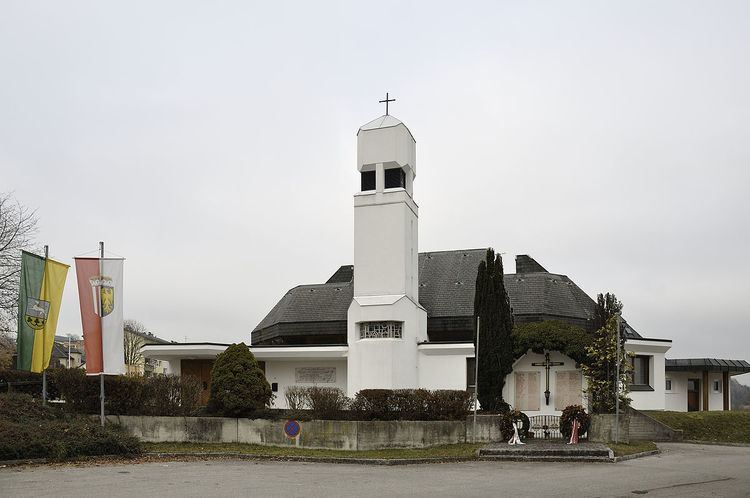
Inzersdorf im Kremstal is a municipality in the district of Kirchdorf an der Krems in the Austrian state of Upper Austria.
Contents
Map of 4565 Inzersdorf im Kremstal, Austria
Geography
Inzersdorf lies in the Krems valley in the Traunviertel. About 30 percent of the municipality is forest, and 59 percent is farmland.
References
Inzersdorf im Kremstal Wikipedia(Text) CC BY-SA