
Country Honduras Area rank 14th Postal code 14101, 14201 Founded 1883 Population 241,568 (2015) | Time zone CDT (UTC+6) ISO 3166 code HN-IN Area 3,123 km² Municipalities 17 | |
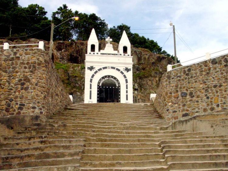 | ||
Clubs and Teams Atlético Esperanzano, Cobán Athletic Points of interest Central Park, Iglesia de Intibucá, La Gruta, Urbanizacion Llamls Del Rocio | ||
Intibucá is one of the 18 departments in the Republic of Honduras. Intibucá covers a total surface area of 1,186.1 square miles (3,072 km2). Its capital is the city of La Esperanza, in the municipality of La Esperanza.
Contents
- Map of IntibucC3A1 Honduras
- History
- Geography
- Rivers
- Population
- Municipalities
- Notable residents
- References
Map of Intibuc%C3%A1, Honduras
History
The department of Intibucá was created on April 16, 1883 upon recommendation of the Governor of the department of Gracias (now called Lempira), Jose Maria Cacho in 1869. He advised that the vast size of Gracias made it difficult to govern and that it would be desirable to divide it into more than one department.
On March 7, 1883 Decree No. 10 was issued, which called for the creation of a new department to be named Intibucá in April of that year. The town of La Esperanza was designated to be the capital of the new department. To create the new department, territory from both the departments of Gracias and La Paz wer sliced off/
Geography
The department of Intibucá is situated between latitudes 13°51'E and 14°42'N and longitudes 87°46'W and 88°42'W. It is bounded on the north by the departments of Comayagua, Lempira, and Santa Bárbara, on the east by the departments of Comayagua and La Paz, on the west by the department of Lempira, and on the south by the Republic of El Salvador. Intibucá is the most mountainous district of Honduras. The capital of La Esperanza lies at an elevation of 4,950 feet (1,510 m) above sea level. The table-land and valleys are higher than in any other part of the country, and the ranges of the Cordilleras rise to an altitude approaching 10,000 feet (3,000 m) feet above sea level.
The valley of Otoro is 30 km long by 8 km wide.
The Opalaca mountains have several ridges and crosses over into the department of La Paz. Sierra de Montecillos is a natural border with the departament of Comayagua, and contains the mountains Opatoro, Concepción, El Picacho, Goascotoro, El Granadino among others.
Rivers
Rivers of La Esperanza include the San Juan River and the Intibucá River, which passes through La Esperanza. Otoro River is a tributary of the Ulua River, and carries water to the Otoro valley. The Black River, known by the name of Guarajambala River, serves as a dividing line with the department of Lempira. Torola River and Gualcarque River flow into the Lempa river.
Population
According to the 1895 census, Intibucá had a population of 18,957 people at that time. In 2007, it had grown to about 232,509 people, living in 104 villages (aldeas) and 910 hamlets (caseríos).
Municipalities
Intibucá has the following municipalities of Honduras:
- Camasca
- Colomoncagua
- Concepción
- Dolores
- Intibucá
- Jesús de Otoro
- La Esperanza
- Magdalena
- Masaguara
- San Antonio
- San Francisco de Opalaca
- San Isidro
- San Juan
- San Marco de Sierra
- San Miguelito
- Santa Lucía
- Yamaranguila