
Existed: 1964 – present Constructed 1964 | Length 26.44 km | |
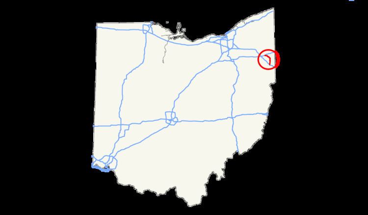 | ||
North end: I-80 / SR 11 near Mineral Ridge | ||
Interstate 680 (I-680) in the State of Ohio is the primary Interstate Highway passing through Youngstown, Ohio. Its northern terminus is at Interstate 80 and its southern terminus is at Interstate 76, the Ohio Turnpike.
Contents
Map of I-680, Youngstown, OH, USA
Route description
I-680 begins at a junction with I-80 and SR 11 in Austintown. It verges southeast through a residential area in northeastern Austintown until crossing into Youngstown at milepost 2. The Interstate continues through residential areas until meeting the southern edge of downtown Youngstown. Once leaving downtown, the roadway turns south, bound for I-76. I-680 passes through residential Boardman and finally exiting into Mahoning County. Once passing Western Reserve Road, the Interstate becomes a spur of the Ohio Turnpike, making I-680 into a toll road. It passes through residential Mahoning County until reaching its terminus at the Ohio Turnpike.
Exit list
The entire route is in Mahoning County.