
Length 105.9 km | ||
 | ||
Existed: 1957 (designated);1960 (signed);1979 (completed) – present Parishes St. John the Baptist Parish, Louisiana, Tangipahoa Parish, Louisiana | ||
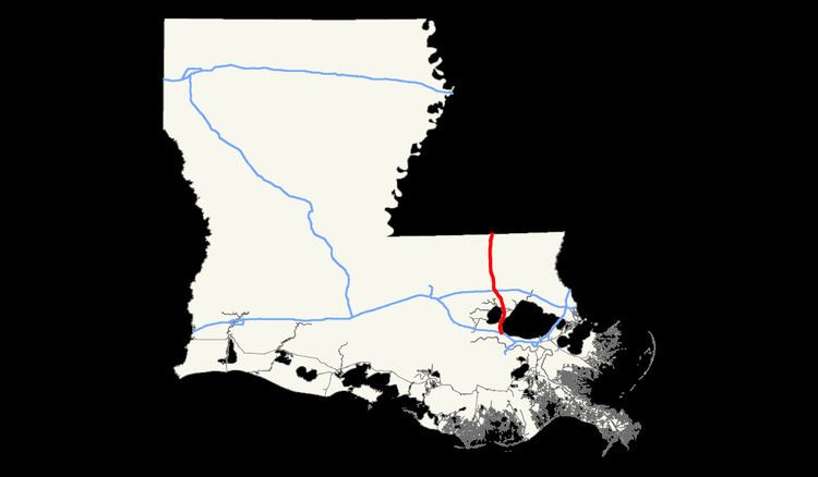
Interstate 55 (I-55) is an Interstate Highway that spans a total of 65.81 miles (105.91 km) in a north–south direction in the U.S. state of Louisiana. It is located in the southeastern portion of the state and parallels the older U.S. Highway 51 (US 51) corridor from the national southern terminus at I-10 in LaPlace to the Mississippi state line north of Kentwood. Along the way it passes through the city of Hammond, where it intersects two of the state's major east–west routes, I-12 and US 190. It also serves the smaller city of Ponchatoula, as well as the towns of Amite City and Kentwood.
I-55 is a major route connecting the New Orleans metropolitan area with Jackson, Mississippi and ultimately Chicago, Illinois. New Orleans is located 21 miles (34 km) east of LaPlace on I-10. The southernmost 23 miles (37 km) of I-55, passing between Lake Pontchartrain and Lake Maurepas, are elevated as part of the Manchac Swamp Bridge, one of the longest bridges in the world.
History
In April 2010, Reader's Digest listed I-55 in Louisiana as the one of the seven worst roads in America. Originally constructed in the mid-1960s using concrete, the roadway had deteriorated to the point where rehabilitation was needed in 1989-90, but problems remained.
In 2010-11, Louisiana rubblized most of the concrete on the interstate from Ponchatoula to the Mississippi state line and replaced it with asphalt.