
Existed: early 1970s – present | Length 4.04 km | |
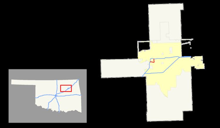 | ||
East end: I‑244 / US-75 / US-412 in Tulsa | ||
Interstate 444 (I-444) is an unsigned auxiliary route of the Interstate Highway System, with both ends at I-244 in downtown Tulsa in the U.S. state of Oklahoma. It makes up the eastern and southern sections on the square-shaped Inner Dispersal Loop.
Contents
It is signed as US-75, with the first half of the highway also being signed as US-64 and State Highway 51 (SH-51). The I-444 designation does appear on Rand McNally maps, and also on some online maps, such as Bing Maps.
History
At the time I-44 was designated, the mile markers in the Tulsa area were in the 90s range. Rather than having their own numbers, I-244 and I-444 started their numbering based on what mile marker the highways were at when they branched off. Therefore, one exit along I-444 was labeled "94D". When the I-444 signs were removed from the highway and the "94" numbers were removed from the other markers (their gore signs simply bore the letter suffixes "A", "B", and "C") the 94D marking remained. The number became even more out of place when the other signs were replaced, bearing no exit numbers.
Exit list
Exit numbers no longer exist. (See History section above for explanation of exit numbers.) The entire route is in Tulsa, Tulsa County.