
History: Last completed in 2003 | Length 22.79 km | |
 | ||
East end: US 67 / US 167 in Jacksonville | ||
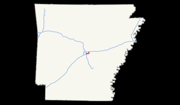
Interstate 440 (I-440) and Arkansas Highway 440 (AR 440), in the central part of the U.S. state of Arkansas, form a partial loop of 14.16 miles (22.79 km) connecting US 67, US 167, and I-40 with I-30 and I-530 near Little Rock. I-440, known as the East Belt Freeway during planning and construction, travels through much of the area's industrial core in the eastern part of the metropolitan area, near Clinton National Airport and the Port of Little Rock. The route is mostly a six-lane freeway. North of I-40, the route continues as AR 440 until it reaches US 67/US 167 in Jacksonville. This section is known as the North Belt Freeway. Highway 440 is proposed to eventually extend back to I-40 at I-430 between Maumelle and Little Rock.
Contents
Map of I-440, Arkansas, USA
Route description
Interstate 440 begins at Interstate 30 at a large interchange with Interstate 530. After this interchange, I-440 intersects Springer Boulevard and Bankhead Drive near Clinton National Airport (formerly Little Rock National Airport). The highway continues across Lindsey Road northeast to cross the Arkansas River. I-440 has interchanges with US 165 and US 70 before terminating at Interstate 40. On the north side of I-40, I-440 transitions to Arkansas Highway 440, an extension of I-440 built to interstate standards. AR 440 runs northeast to Jacksonville, connecting North Little Rock with US 67/US 167.
To avoid repeating the disturbance of the Fourche Creek floodplain by a causeway section of I-30 (including what is now the I-30/I-440/I-530 interchange), most of I-440 between I-30 and the exit leading to the airport is an extended bridge through the floodplain, crossing Fourche Creek several times.
History
The idea of Interstate 440 was first proposed in 1941.
I-440 is part of a planned full loop around the metropolitan area, together with Interstate 430. Part of that effort, an extended route from I-440's east end at I-40 to US 67/US 167, opened in 2003 as Arkansas Highway 440, and is also part of the North Belt Freeway project.
Exit list
The entire route is in Pulaski County.