
Length 234.6 km | ||
 | ||
Fly 17 interstate 17 in arizona black canyon highway triumph tiger 800 xcx
Interstate 17 (I-17) is an Interstate Highway located entirely within the U.S. state of Arizona. I-17's southern terminus lies within Phoenix, at Interstate 10, and its northern terminus is in Flagstaff, at Interstate 40. The majority of I-17 is known as the Arizona Veterans Highway. In the Phoenix metropolitan area, it is mostly known as the Black Canyon Freeway, however the southern 4.16 miles (6.69 km) is part of the Maricopa Freeway. The portion of the highway south of Cordes Lakes was built along the alignment of SR 69, while the northern part was built along old SR 79's alignment. I-17 is one of the most scenic Interstate Highways as it gains more than a mile in altitude between Phoenix at 1,117 feet (340 m) and Flagstaff at 7,000 feet (2,100 m). The highway features several scenic view exits along its route that overlook the many mountains and valleys found in northern Arizona.
Contents
- Fly 17 interstate 17 in arizona black canyon highway triumph tiger 800 xcx
- Map of I 17 Arizona USA
- Route description
- History
- Exit list
- References
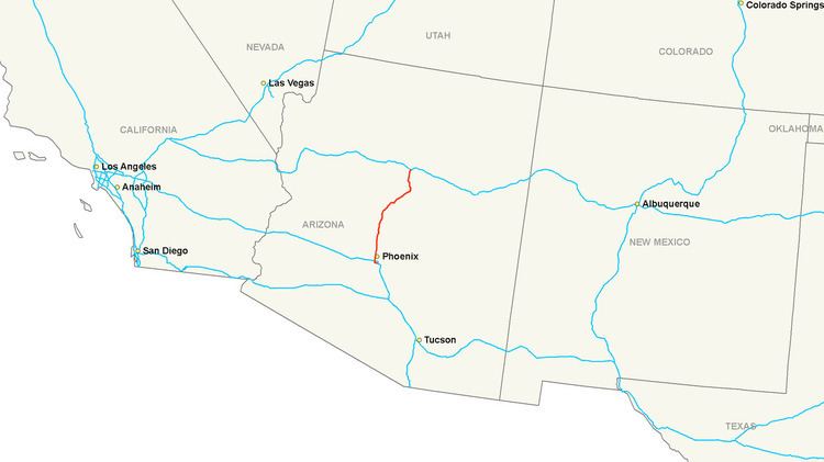
Map of I-17, Arizona, USA
Route description
Interstate 17 is known as the Black Canyon Freeway from the northern end of the Phoenix Metropolitan Area to a point 2.2 miles (3.5 km) south of The Stack interchange with Interstate 10 northwest of Downtown Phoenix. At the Durango Curve southwest of downtown, between the 19th Avenue and Buckeye Road interchanges, it picks up the designation Maricopa Freeway all the way to the southern terminus at the second Interstate 10 junction. It is one of the metropolitan area's primary freeways. It has two interchanges with Interstate 10 in Phoenix.
I-17 has the unusual distinction of starting at approximately milepost 194 instead of at milepost zero. This is a holdover from Arizona's old system of marking mileposts, where a branching route would continue the milepost numbering of its original host, instead of starting over at zero. Interstate 17 inherited its milepost locations from SR 69, which the freeway replaced between Phoenix and Cordes Junction. SR 69's mileposting was such that it coincided with US 89's mileposting, which was 201.6 where the two routes intersected. When I-17 was constructed, the existing mileposting for SR 69 was retained.
I-17 is closed to bicycles and pedestrians south of Pioneer Road (exit 225) in the Anthem area, but is open to them north of this point.
History
In 1936, SR 69 was established as a state route from Phoenix north to Prescott. The road was completed by 1940 to Prescott. In 1954, a new route north to Flagstaff was established as SR 79. By 1961, the roadway from Phoenix to Flagstaff had been established, but not to Interstate standards. By 1971, I-17 had been completed from Phoenix northward to Camp Verde where a short stretch had not been completed to standards. The stretch from SR 279 north to SR 179 was also complete. The largest section yet to be completed was from SR 179 north to Flagstaff. This segment was still just a two-lane roadway, but it did have full traffic interchanges built at cross roads. The portion from I-40 south to the Flagstaff Municipal Airport had been completed by this time.
Exit list
The entire route is in Arizona.