
 | ||
The interior plains
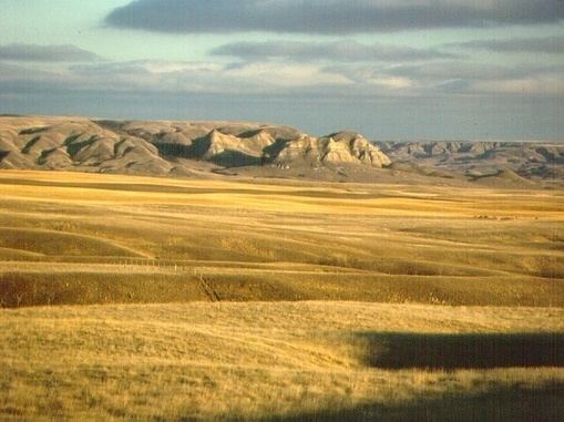
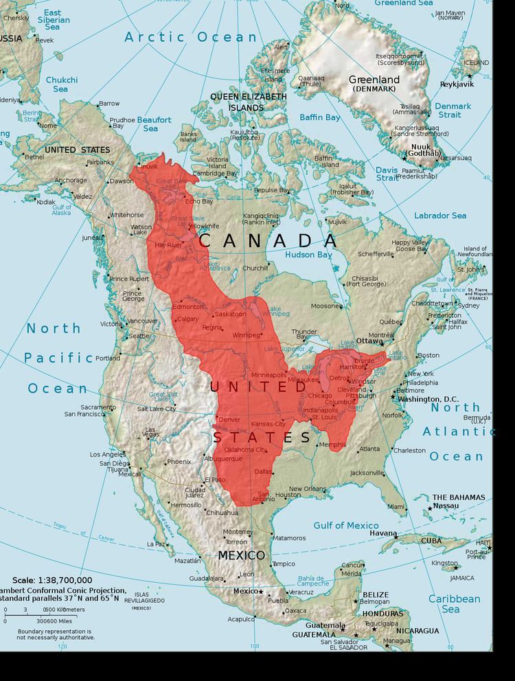
The Interior Plains is a vast physiographic region that spreads across the Laurentian craton of central North America. The region extends from the Gulf Coast region to the Arctic Ocean along the east flank of the Rocky Mountains. In Canada the region separates the Rocky Mountains from the Canadian Shield. In the United States the plains include the Great Plains of the west and the Tallgrass prairie region to the south of the Great Lakes extending east to the Appalachian Plateau region.
Contents
- The interior plains
- The interior plains of canada
- Geology and physiography
- Paleozoic and Mesozoic
- Cenozoic
- References
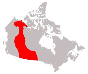
The interior plains of canada
Geology and physiography
This area was originally formed when cratons collided and welded together 1.8–1.9 billion years ago in the Trans-Hudson orogeny during the Paleoproterozoic Era.
Precambrian metamorphic and igneous rocks now form the basement of the Interior Plains and make up the stable nucleus of North America. With the exception of the Black Hills of South Dakota, the entire region has low relief, reflecting more than 500 million years of relative tectonic stability.
The Interior plains region of the United States and Canada falls within this area. The Interior Plains were often covered by shallow inland seas. Sediments from the shield and the Rocky Mountains were deposited in these seas over millions of years. Eventually the sediments were compressed by the weight of the layers above into sedimentary rock. Part of the sedimentary rock deposited in these areas consists of coral reefs that formed close to the surface of seas during the Paleozoic Era.
Paleozoic and Mesozoic

Throughout the Paleozoic and Mesozoic eras, the mostly low-lying Interior Plains region remained relatively unaffected by the mountain-building tectonic collisions occurring on margins of the continent. During much of the Mesozoic Era, the North American continental interior were mostly well above sea level, with two major exceptions. During part of the Jurassic, rising seas flooded the low-lying areas of the continent, forming the Sundance Sea; in the Cretaceous, much of the Interior Plains region lay submerged beneath the Western Interior Seaway.
Cenozoic
The Interior Plains continued to receive deposits from the eroding Rocky Mountains to the west and Appalachian and Ozark/Ouachita Mountains to the east and south throughout the era. The flatness of the Interior Plains is a reflection of the platform of mostly flat-lying marine and stream deposits laid down in the Mesozoic and Cenozoic eras.