
Area 7.21 km² | Canton Le Saulnois Local time Monday 1:36 PM | |
 | ||
Intercommunality Communauté de communes du Saulnois Weather 14°C, Wind NE at 8 km/h, 38% Humidity | ||
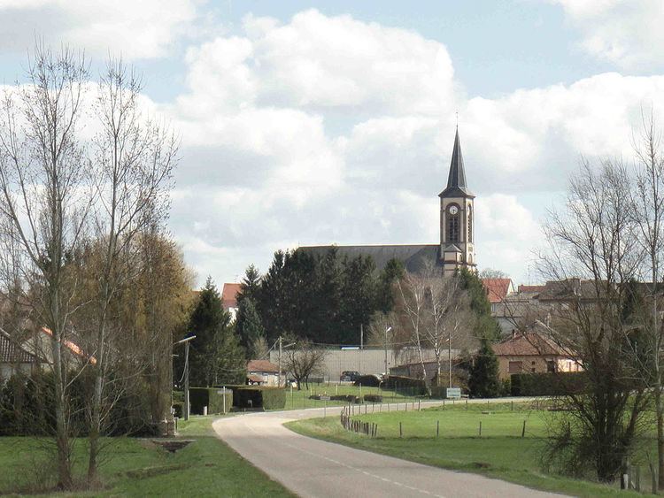
Insming (German: Insmingen) is a commune in the Moselle department in Grand Est in north-eastern France.
Contents
Map of 57670 Insming, France
Geography
It is situated about 60 km southeast of Metz, about 80 km northeast of Nancy, and about 100 km northwest of Strasbourg.
Its altitude is 215 meters minimum and 273 meters maximum.
It is part of the canton d'Albestroff, which is part of the "arrondissement" of Château-Salins.
History
Since the eighth century, Insming has been known under different names: Asmengia (1106), Asmingiam (1152), Amanges (1296), Esminga and Einsminga (1299), Einsmingen (1456), Amangen and Enssmingen (1594). It is the oldest village of the canton of Albestroff. In the 12th century, it was the headquarters of a priesthood dependent on Saint-Mihiel Abbey, which was founded at the end of the 11th century. Insming was a small dependence of Counts de Ferrettes and de Montbeliard.
After World War II, Insming saw an economic boom, mainly thanks to Fernand Lambert, who was its mayor from 1945 to 1977. He inaugurated the first high school in the Moselle department after the war.