
Country India Vehicle registration UP-77 | Time zone IST (UTC+5:30) Coastline 0 kilometres (0 mi) | |
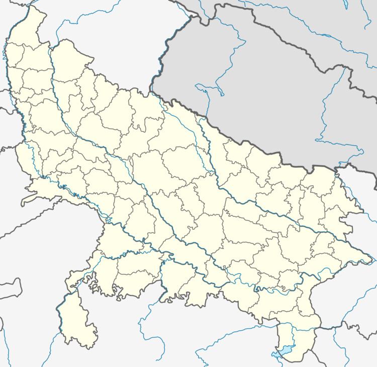 | ||
Injuwarampur is a village in Kanpur Dehat district in the state of Uttar Pradesh, India.
Contents
- Transport
- Nearest town
- Administration
- List of Gram Pradhan
- Festivals
- Visiting places
- Demographics
- Geography
- References
It is located in Derapur tehsil and near to Rura town at a distance of 7 kilometres. Post office, primary school and upper primary school are here in government sector.
Transport
Ambiyapur is a nearest railway station of the village at a distance 2 km west-north. It falls on the Agra-Kanpur Railway Route North Central Railway zone. Rura Railway Station (9 km) is the nearest railway station to east and to the west Jhinjhak is at a distance of 10 km. Kanpur Central railway station is the nearest major Railway station.
- 64162 Shikohabad-Kanpur Pass
- 51810 Tundla-Kanpur Pass
- 64156 Tundla -Kanpur Pass
- 64158 Kanpur-Tundla Pass
- 51809 Kanpur-Tundla Pass
- 64159 Kanpur-Shikohabad Pass
It is connected with link road to Bhatauli-Rura town, Rura city, Derapur town, Kanpur via Akbarpur and to the Golden Quadrilateral National Highway of India.
Nearest town
Rura is 7 km east, Bhatauli-Rura is 7 km east, Jhinjhak 13 km west, and Derapur is south at a distance of 15 km.
Administration
The village administrated by Pradhan who is an elected representative of village as per constitution of India and Panchayati Raj India.
List of Gram Pradhan
Festivals
All national festivals, Holi, Diwali, Mahashivratri, Shri Krishna Janmashtami, Ramnavami, Makara Sankranti, Eid-ul-Fitr, Rakshabandhan, Hanuman jayanti and other local ones such as Nag-Panchmi, Navratri, Durga Puja are celebrated with enthusiasm.
Visiting places
Demographics
As of 2001 India census, Injuwarampur had a population of 1221. Males constitute 51% of the population and females 49%.
Geography
Injuwarampur is located at 26°47′52″N 79°54′30″E.
Station name: Ambiyapur, Station code: APP