
Population 362 (2006 census) Mean max temp Mean min temp Postal code 4454 | Postcode(s) 4454 Elevation 393 m Local time Monday 5:00 PM | |
 | ||
Weather 33°C, Wind NW at 19 km/h, 29% Humidity | ||
Injune /ˈɪndʒuːn/ is a small town in South West Queensland, Australia. The town is located on the Carnarvon Highway, 92 kilometres (57 mi) north of the regional centre of Roma. A railway connected Injune with Roma from 1920 until 1966. At the 2006 census, Injune had a population of 362.
Contents
Map of Injune QLD 4454, Australia
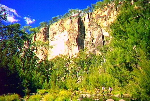
It was formerly a hub for cattle and dairy industries, but now serves as a staging point for expeditions to the nearby Carnarvon National Park. More recently, natural gas and timber have served as the major primary industries.
History
Injune Post Office opened on 11 August 1920.
Facilities
Injune has a public library, a historical railway and team train precinct, and the Injune art space.
Henricks Park
Residents of Injune district have a lively interest in the arts, strongly supported by Bungil Shire Council's Arts & Cultural Policy
Injune's local arts group, the Injune Public Space Art Group (IPSAG) is leading the development of Henricks Park. opposite the Injune Information Centre.
Climate
Injune has a subtropical climate with warm to hot summers and cool winters with rainfall concentrated in the summer months. A record low temperature of −8.0 °C (17.6 °F) is one of the coldest temperatures recorded in Queensland outside of the Darling Downs and Granite Belt along with the record low in nearby Mitchell.