
OS grid reference TQ623919 Post town BRENTWOOD Local time Monday 5:23 AM | Sovereign state United Kingdom Postcode district CM13 Dialling code 01277 | |
 | ||
Weather 7°C, Wind NW at 18 km/h, 84% Humidity | ||
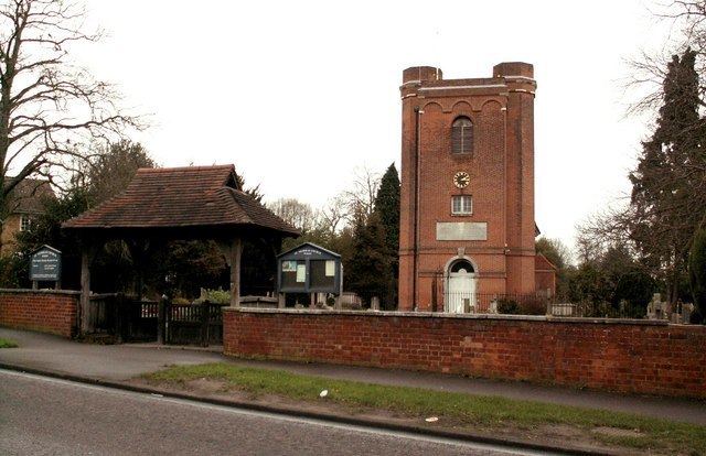
Ingrave is a village in the borough of Brentwood in Essex, England. It is situated on and around the A128 road, 2 miles (3.2 km) southeast of the town of Brentwood. Together with the adjoining village of Herongate, it forms the Herongate and Ingrave civil parish.
Contents
Map of Ingrave, UK
Name and history
Ingrave's name is derived from that of the original manor in this area, "Ging-Ralph" or "Ralph’s-ing". The manor was originally owned by the Mordaunt family but was acquired by the Petre family in 1573. The Petres built Thorndon Hall (now luxury apartments) on the site in 1770.
References
Ingrave Wikipedia(Text) CC BY-SA