
- right Musk Creek - elevation 514 m (1,686 ft) | - elevation 1,340 m (4,396 ft) | |
 | ||
- location south of the Black-Allan Line, Victorian Alps, Victoria | ||
Ingeegoodbee river crossing
The Ingeegoodbee River is a perennial river of the Snowy River catchment, located in the Alpine regions of the states of New South Wales and Victoria, Australia.
Contents
- Ingeegoodbee river crossing
- Map of Ingeegoodbee River Suggan Buggan VIC Australia
- Course and features
- References
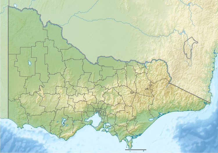
Map of Ingeegoodbee River, Suggan Buggan VIC, Australia
Course and features
The Ingeegoodbee River rises in alpine country within the Snowy Mountain Range contained within Kosciuszko National Park, south of Thredbo in New South Wales. The river flows generally southeast by south and then southwest, flowing across the Black-Allan Line that forms part of the border between Victoria and New South Wales, joined by one minor tributary, before reaching its confluence with the Suggan Buggan River within the Alpine National Park in Victoria. The river descends 826 metres (2,710 ft) over its 31-kilometre (19 mi) course.
References
Ingeegoodbee River Wikipedia(Text) CC BY-SA