
Constructed 1 October 1926 | North end: SR 56 Length 76.83 km | |
 | ||
Existed: October 1, 1926 – present Counties | ||
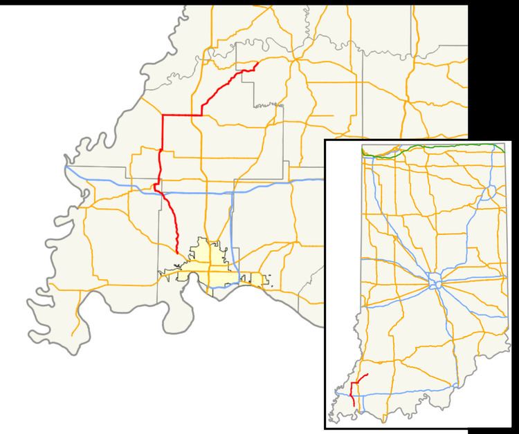
State Road 65 crosses in four counties in the southwest portion of the U.S. State of Indiana.
Contents
Map of IN-65, Indiana, USA
Route description
State Road 65 begins at State Road 66 west of Evansville. It arcs to the northwest to the town of Cynthiana and State Road 68, then proceeds north through Owensville to State Road 64. It shares this route east into Princeton to the Gibson County Courthouse Square where it turns north then proceeds northeast to its terminus at State Road 56 west of Petersburg, just inside Pike County.
References
Indiana State Road 65 Wikipedia(Text) CC BY-SA