
Length 195 km | Mouth elevation 0 | |
 | ||
Main source Ponce de Leon inlet0 ft (0 m) River mouth St. Lucie Inlet0 ft (0 m) Bridges Eau Gallie Causeway, 17th Street Bridge Similar Indian River Lagoon, Sebastian Inlet, Eau Gallie Causeway, Intracoastal Waterway, Haulover Canal | ||
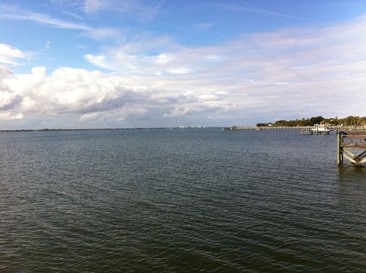
The Indian River is a 121-mile (195 km) long brackish lagoon in Florida, and is part of the Indian River Lagoon system, which in turn forms part of the Atlantic Intracoastal Waterway.
Contents
Map of Indian River, Florida, USA
It was originally named Rio de Ais after the Ais Indian tribe, who lived along the east coast of Florida, but was later given its current name. The Indian River extends southward from the Ponce de Leon inlet in New Smyrna Beach in Volusia County southward and across the Haulover Canal and along the western shore of Merritt Island. The Banana River flows into the Indian River on the island's south side. The Indian River continues southward to St. Lucie Inlet. At certain seasons of the year, bridges have tended to impede the flow of red drift algae, resulting in an odor of hydrogen sulfide in the area.
Tributaries and estuariesEdit
Tributaries of the Indian River include the Merritt Island Barge Canal (man-made), the C-54 Canal (man-made), Crane Creek, the Eau Gallie River, Horse Creek, Mullet Creek, St. Sebastian River, St. Lucie River, Sykes Creek, and Turkey Creek. An estuary of Indian River is Palm Bay. The St. Johns-Indian River Barge Canal was proposed in the 1960s to provide a water link to the St. Johns River, but was cancelled in the early 1970s.