
Country New Zealand | Region West Coast Local time Sunday 10:56 AM | |
 | ||
Weather 14°C, Wind SE at 14 km/h, 94% Humidity Points of interest Lake Brunner, Lake Poerua, Iveagh Bay, Bain Bay | ||
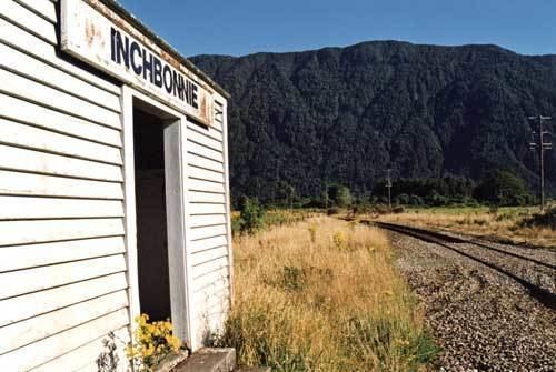
Inchbonnie is a rural locality in the West Coast region of New Zealand's South Island.
Map of Inchbonnie, New Zealand
"Inchbonnie" is a hybrid of Lowland Scots, bonnie meaning "pretty" and Scottish Gaelic innis meaning island, often anglicised as "Inch", as in Inchkeith or Inchkenneth in Scotland.
It allegedly receives 6 metres (20 ft) of rain a year. It is located on the north bank of the Taramakau River and is just to the south of Lake Poerua. State Highway 73 and the Midland Line railway both pass through Inchbonnie, though the TranzAlpine passenger train does not stop. On 17 March 2006, Inchbonnie was the location for the release of insects in an attempt to eradicate the ragwort weed from the West Coast.
References
Inchbonnie Wikipedia(Text) CC BY-SA