
Surface area 40 km (15 sq mi) | Basin countries New Zealand Max. depth 109 m (358 ft) Area 40 km² Cities Moana | |
 | ||
Similar Grey River, Shantytown - New Zealand, Lake Kaniere, TranzAlpine, Lewis Pass | ||
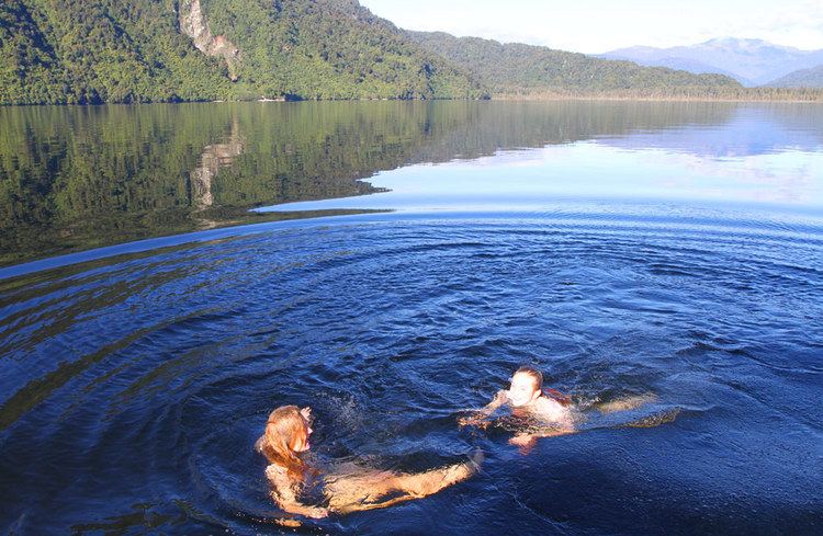
Lake Brunner is the largest lake in the northwestern South Island of New Zealand, covering an area of 40 km². The lake's outflow is the Arnold River, a tributary of the Grey River. The lake lies 31 kilometres to the southeast of Greymouth. The main settlement close to the lake is Moana, on the northern shore.
Contents
Map of Lake Brunner, Inchbonnie, New Zealand
Located several kilometres inland from the coast road (State Highway 6), it is less frequently visited by tourists than many of the West Coast's scenic highlights, but it is becoming increasingly popular, in part due to its reputation for fishing.
Lake Brunner was named by John Rochfort for the 19th century explorer Thomas Brunner. The Māori name for the lake, Kotuku moana, means "Sea of herons".
The New Zealand freshwater mussel (Hyridella menziesi) is found in the lake.
By 1976 twenty percent of the catchment of the lake was farmed and there was a population of 84 at the settlement of Moana.
Water quality
The waters of Lake Brunner have been monitored since the 1990s and it shows that the water quality of the lake is declining. By 2010 all the measured determinates for water quality were trending up but it was still considered to have good water quality. The poorest water quality is at Cashmere Bay, next to Moana.
The West Coast Regional Council 2007 Proposed Water Management Plan is to have the water quality maintained or improved.