
County Donegal Elevation 222 m | Highest elevation 222 m (728 ft) Population 448 (2011) Area 13 km² | |
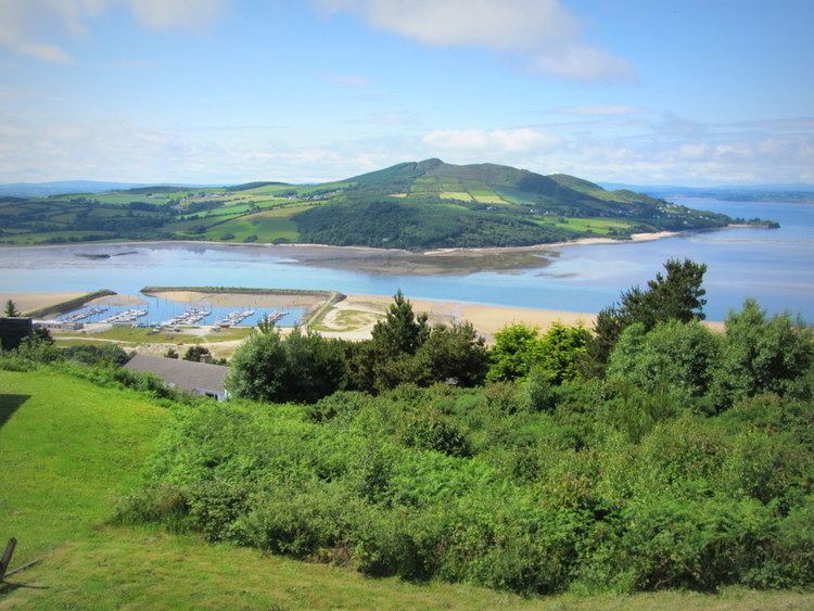 | ||
Inch Island (Irish: An Inse, meaning "Island") ) is an island in Lough Swilly, County Donegal, Ireland.
Contents
- Map of Inch Island Glack Co Donegal Ireland
- GeographyEdit
- DemographicsEdit
- Relevant buildingsEdit
- NatureEdit
- References
Map of Inch Island, Glack, Co. Donegal, Ireland
GeographyEdit
The island is around 5 square miles (13 square kilometres) in area. It lies off the Donegal coast near Burt and the start of the Inishowen peninsula; Inch island is connecetd to the mainland by a causeway road. The island's highest hill is at 222 m.
DemographicsEdit
The table reports data taken from Discover the Islands of Ireland (Alex Ritsema, Collins Press, 1999) and the Census of Ireland.
Relevant buildingsEdit
The remains of a portal tomb with a nearby burial chamber probably constructed using parts of the original tomb is located near Carnaghan (SW part of the island). A 15th century castle stands on a cliff overlooking Lough Swilly. The island's Presbyterian Church is one of the smallest of the surrounding area (just some 14 families member of it); its catholic church, entitled to Our Lady of Lourdes, was built in 1932.
NatureEdit
Inch island is a well known birdwatching site with a relevant population of migratory and wintering birds. Bird species on the island include Greenland white fronted goose, whooper swan and greylag goose.