
Country Algeria Elevation 549 m (1,801 ft) ONS code 3306 Postal code 33200 Number of airports 1 | District In Amenas (seat) Time zone CET (UTC+01) Area 14,913 km² Local time Saturday 2:44 PM Population 7,385 (2008) | |
 | ||
Weather 27°C, Wind NW at 18 km/h, 12% Humidity | ||
In Amenas (Arabic: إن أمناس, ‘In ’Amanās) is a town and commune in eastern Algeria, bordering with Libya. The town is located 30 kilometres (19 mi) west of the border. There is no border crossing in the area. The municipality had 7,385 inhabitants in 2008, up from 5.302 in 1998, with an annual growth rate of 3.4% According to the Algerian novelist Mouloud Mammeri the name is a Tuareg word which means "lieu des méharis" or "place of camel drivers."
Contents
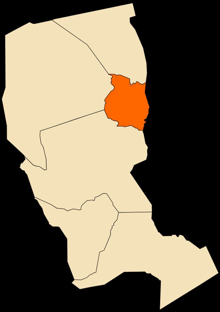
Map of In Amenas, Algeria
The natural gas facility near the municipality was attacked by Islamist militants on 16 January 2013.
Climate
In Amenas has a hot desert climate (Köppen climate classification BWh). Summers are long and very hot with averages high temperatures over 40 °C (104 °F) during June, July and August. Winters remain warm and brief at daytime but nights can be quite cold, with averages low temperatures below 4 °C (39.2 °F) during January, the coolest month of the year. In Amenas averages annual rainfall of only 23.2 mm (0.91 in) as the town is located within the large central hyperarid core of the Sahara Desert. The sky is always clear over In Amenas throughout the year and the relative humidity is very low, especially during summer months.