
Country United States Local time Saturday 1:26 AM | Time zone Pacific (UTC-8) | |
 | ||
Weather 2°C, Wind E at 5 km/h, 93% Humidity | ||
Cattle drive imnaha oregon june 2013
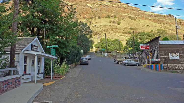
Imnaha is an unincorporated community at the confluence of Big Sheep Creek and the Imnaha River in Wallowa County, Oregon, United States. Its elevation is 1,978 feet (603 m). Oregon Route 350 connects Imnaha to the nearest incorporated city, Joseph, Oregon, 30 miles (48 km) to the west. Imnaha is best known as the gateway to the Hat Point scenic lookout on Hells Canyon at the Snake River.
Contents
Map of Imnaha, OR 97842, USA
The name Imnaha means "land ruled over by Imna"; Imna was a local Native American subchief. The post office in Imnaha opened January 4, 1885, but the townsite was not established until 1901; it was platted in 1902.
Imnaha is the easternmost settlement in the state of Oregon.
Climate
This region experiences warm (but not hot) and dry summers, with no average monthly temperatures above 71.6 °F (22.0 °C). According to the Köppen Climate Classification system, Imnaha has a warm-summer Mediterranean climate, abbreviated "Csb" on climate maps.