
Existed: 2003 – present Constructed 2003 | Length 47.25 km | |
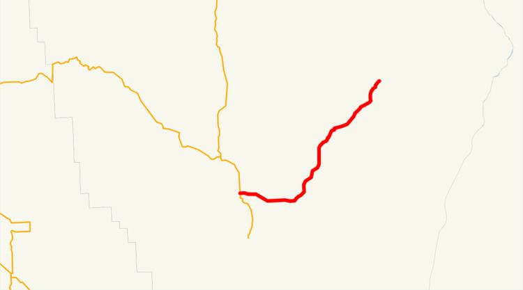 | ||
Oregon Route 350 is an Oregon state highway running from Joseph to Imnaha. OR 350 is known as the Little Sheep Creek Highway No. 350 (see Oregon highways and routes). It is 29.36 miles (47.25 km) long and runs east–west, entirely within Wallowa County.
Contents
Map of OR-350, Oregon, USA
OR 350 was established in 2003 as part of Oregon's project to assign route numbers to highways that previously were not assigned, and, as of August 2011, was unsigned.
Route description
OR 350 begins at an intersection with OR 82 and OR 351 in Joseph and heads east and northeast to Imnaha, where it ends at the intersection of Upper Imnaha Road and Grizzly Ridge Road.
History
OR 350 was assigned to the Little Sheep Creek Highway in 2003.
Major intersections
The entire route is in Wallowa County.
References
Oregon Route 350 Wikipedia(Text) CC BY-SA